Zalishchyky night lights from space
Night Light of Zalishchyky (Ternopil) from space (Ukraine) Src. Average luminocity for 10x10km area is 0.119% and for 50x50km: 0.0596%.
Analysis of Zalishchyky night lights 2016
Square area 10x10 km:
 0%
0%90-99
0%80-89
0%70-79
0%60-69
0%50-59
0%40-49
0%30-39
0%20-29
0%10-19
0.6%0-9
99.4%Square area 50x50 km:
0%90-99
0%80-89
0%70-79
0%60-69
0%50-59
0.02%40-49
0.03%30-39
0.04%20-29
0.02%10-19
0.07%0-9
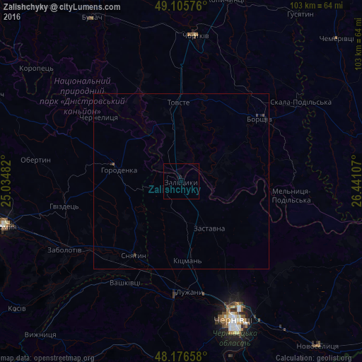
99.82%Clear (daylight) street map image can be seen on geolist.org.
Map coordinates:
49° 6' 20.7" North, 25° 2' 5.4" East
48° 38' 35.9" North, 25° 44' 16.6" East
48° 10' 35.7" North, 26° 26' 27.9" East
Some cities around Zalishchyky sort by population:
• Chernivtsi
41.9 km =26 mi,  159°
159°
• Chortkiv
41.8 km =26 mi,  6°
6°
• Borshchiv
28.6 km =17.8 mi,  51°
51°
• Sniatyn
25.1 km =15.6 mi,  209°
209°
• Horodenka
17.7 km =11 mi,  280°
280°
• Zastavna
15.5 km =9.6 mi,  149°
149°
• Klishkivtsi
45.2 km =28.1 mi,  121°
121°
• Vashkivtsi
33.3 km =20.7 mi, 210°
687826 (p: 9,749)
Sources (retrieved 2019-11-25):
» Earth at Night: Flat Maps 2012, 2016