Bereznehuvate night lights from space
Night Light of Bereznehuvate (Mykolaiv) from space (Ukraine) Src. Average luminocity for 10x10km area is 0% and for 50x50km: 0.0425%.
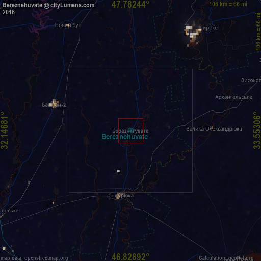
Analysis of Bereznehuvate night lights 2016
Square area 10x10 km:
 0%
0%90-99
0%80-89
0%70-79
0%60-69
0%50-59
0%40-49
0%30-39
0%20-29
0%10-19
0%0-9
100%Square area 50x50 km:
0.01%90-99
0.01%80-89
0%70-79
0%60-69
0%50-59
0.02%40-49
0%30-39
0%20-29
0%10-19
0%0-9
99.95%Clear (daylight) street map image can be seen on geolist.org.
Map coordinates:
47° 46' 56.8" North, 32° 8' 48.5" East
47° 18' 28.2" North, 32° 50' 59.7" East
46° 49' 44.1" North, 33° 33' 11" East
Some cities around Bereznehuvate sort by population:
• Novyy Buh
49.4 km =30.7 mi,  330°
330°
• Beryslav
67.9 km =42.2 mi,  139°
139°
• Snihurivka
26 km =16.2 mi,  187°
187°
• Bashtanka
32.9 km =20.4 mi,  289°
289°
• Shyroke
52.5 km =32.6 mi,  35°
35°
• Kazanka
59.9 km =37.2 mi,  357°
357°
• Velyka Oleksandrivka
34.2 km =21.3 mi,  87°
87°
• Oleksandrivka
52.6 km =32.7 mi, 187°
712339 (p: 7,506)
Sources (retrieved 2019-11-25):
» Earth at Night: Flat Maps 2012, 2016