Velyka Oleksandrivka night lights from space
Night Light of Velyka Oleksandrivka (Kherson) from space (Ukraine) Src. Average luminocity for 10x10km area is 0.2857% and for 50x50km: 0.0169%.
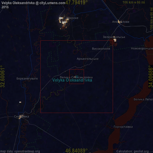
Analysis of Velyka Oleksandrivka night lights 2016
Square area 10x10 km:
 0%
0%90-99
0%80-89
0%70-79
0%60-69
0%50-59
0%40-49
0%30-39
0.6%20-29
0%10-19
0%0-9
99.4%Square area 50x50 km:
0%90-99
0%80-89
0%70-79
0%60-69
0%50-59
0%40-49
0%30-39
0.02%20-29
0%10-19
0%0-9
99.98%Clear (daylight) street map image can be seen on geolist.org.
Map coordinates:
47° 47' 39.1" North, 32° 36' 2.2" East
47° 19' 10.9" North, 33° 18' 13.4" East
46° 50' 27.2" North, 34° 0' 24.7" East
Some cities around Velyka Oleksandrivka sort by population:
• Kakhovka
57.9 km =36 mi,  166°
166°
• Apostolove
48.8 km =30.3 mi,  39°
39°
• Beryslav
54 km =33.6 mi, 169°
• Snihurivka
46.4 km =28.8 mi,  234°
234°
• Shyroke
41.5 km =25.8 mi,  355°
355°
• Bereznehuvate
34.2 km =21.3 mi,  267°
267°
• Novovorontsovka
50.4 km =31.3 mi,  66°
66°
• Hornostayivka
47.3 km =29.4 mi,  137°
137°
690288 (p: 7,281)
Sources (retrieved 2019-11-25):
» Earth at Night: Flat Maps 2012, 2016