Novyy Buh night lights from space
Night Light of Novyy Buh (Mykolaiv) from space (Ukraine) Src. Average luminocity for 10x10km area is 0.7098% and for 50x50km: 0.0279%.
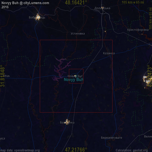
Analysis of Novyy Buh night lights 2016
Square area 10x10 km:
 0%
0%90-99
0%80-89
0%70-79
0%60-69
0%50-59
0%40-49
1.19%30-39
0%20-29
0.6%10-19
0%0-9
98.21%Square area 50x50 km:
0%90-99
0%80-89
0%70-79
0%60-69
0%50-59
0%40-49
0.05%30-39
0%20-29
0.02%10-19
0%0-9
99.93%Clear (daylight) street map image can be seen on geolist.org.
Map coordinates:
48° 9' 51.2" North, 31° 49' 6.5" East
47° 41' 35.1" North, 32° 31' 17.8" East
47° 13' 3.6" North, 33° 13' 29" East
Some cities around Novyy Buh sort by population:
• Kryvyi Rih
68.5 km =42.6 mi,  69°
69°
• Dolyns'ka
49.8 km =30.9 mi,  21°
21°
• Nova Odesa
70 km =43.5 mi,  232°
232°
• Bashtanka
32.4 km =20.1 mi,  191°
191°
• Shyroke
55.1 km =34.2 mi,  90°
90°
• Kazanka
28.2 km =17.5 mi,  52°
52°
• Bereznehuvate
49.4 km =30.7 mi,  150°
150°
• Lozuvatka
69.9 km =43.4 mi, 54°
698953 (p: 15,646)
Sources (retrieved 2019-11-25):
» Earth at Night: Flat Maps 2012, 2016