Snihurivka night lights from space
Night Light of Snihurivka (Mykolaiv) from space (Ukraine) Src. Average luminocity for 10x10km area is 2.1236% and for 50x50km: 0.1259%.
Analysis of Snihurivka night lights 2016
Square area 10x10 km:
 0%
0%90-99
0%80-89
0%70-79
0%60-69
0%50-59
0.57%40-49
0.71%30-39
2.7%20-29
0.57%10-19
1.14%0-9
94.32%Square area 50x50 km:
0.01%90-99
0.01%80-89
0%70-79
0%60-69
0%50-59
0.05%40-49
0.03%30-39
0.11%20-29
0.02%10-19
0.05%0-9
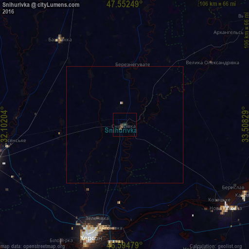
99.72%Clear (daylight) street map image can be seen on geolist.org.
Map coordinates:
47° 33' 9" North, 32° 6' 7.3" East
47° 4' 32.8" North, 32° 48' 18.6" East
46° 35' 41.2" North, 33° 30' 29.8" East
Some cities around Snihurivka sort by population:
• Kherson
48.8 km =30.3 mi,  196°
196°
• Tsyurupyns’k
51.3 km =31.9 mi,  187°
187°
• Bashtanka
46.1 km =28.6 mi,  323°
323°
• Chornobayivka
46.5 km =28.9 mi, 204°
• Bereznehuvate
26 km =16.2 mi,  7°
7°
• Velyka Oleksandrivka
46.4 km =28.8 mi,  54°
54°
• Komyshany
53.8 km =33.4 mi, 204°
• Oleksandrivka
26.6 km =16.5 mi, 187°
693379 (p: 14,873)
Sources (retrieved 2019-11-25):
» Earth at Night: Flat Maps 2012, 2016