Oleksandrivka night lights from space
Night Light of Oleksandrivka (Mykolaiv) from space (Ukraine) Src. Average luminocity for 10x10km area is 0.0149% and for 50x50km: 3.3089%.
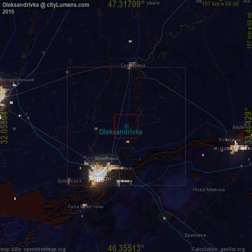
Analysis of Oleksandrivka night lights 2016
Square area 10x10 km:
 0%
0%90-99
0%80-89
0%70-79
0%60-69
0%50-59
0%40-49
0%30-39
0%20-29
0%10-19
0%0-9
100%Square area 50x50 km:
0.47%90-99
0.73%80-89
0.51%70-79
0.2%60-69
0.52%50-59
0.34%40-49
0.35%30-39
0.27%20-29
1.04%10-19
2.26%0-9
93.3%Clear (daylight) street map image can be seen on geolist.org.
Map coordinates:
47° 19' 1.5" North, 32° 3' 28.9" East
46° 50' 17.7" North, 32° 45' 40.2" East
46° 21' 18.5" North, 33° 27' 51.4" East
Some cities around Oleksandrivka sort by population:
• Kherson
23 km =14.3 mi,  208°
208°
• Tsyurupyns’k
24.7 km =15.3 mi,  187°
187°
• Hola Prystan’
39 km =24.2 mi, 207°
• Snihurivka
26.6 km =16.5 mi,  7°
7°
• Bilozerka
34 km =21.1 mi,  225°
225°
• Chornobayivka
22.5 km =14 mi,  224°
224°
• Komyshany
29.6 km =18.4 mi, 220°
• Velyki Kopani
42.3 km =26.3 mi,  157°
157°
713676 (p: 5,653)
Sources (retrieved 2019-11-25):
» Earth at Night: Flat Maps 2012, 2016