Chake Chake night lights from space
Night Light of Chake Chake (Pemba South) from space (Tanzania) Src. Average luminocity for 10x10km area is 2.2479% and for 50x50km: 0.1432%.
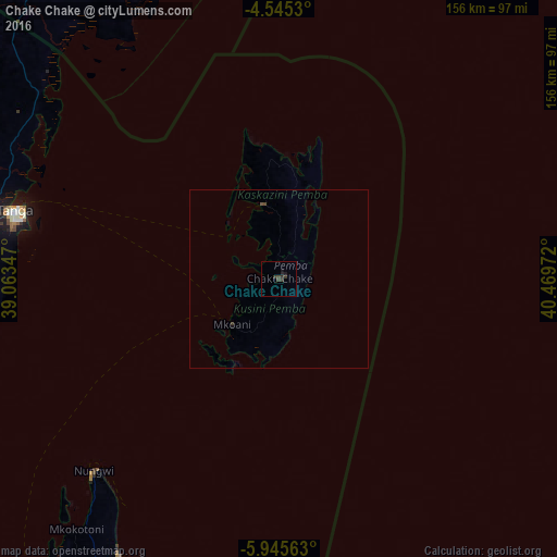
Analysis of Chake Chake night lights 2016
Square area 10x10 km:
 0%
0%90-99
0%80-89
0%70-79
0%60-69
0%50-59
0%40-49
1.65%30-39
2.48%20-29
1.65%10-19
1.65%0-9
92.56%Square area 50x50 km:
0%90-99
0%80-89
0%70-79
0%60-69
0%50-59
0%40-49
0.14%30-39
0.14%20-29
0.07%10-19
0.1%0-9
99.55%Clear (daylight) street map image can be seen on geolist.org.
Map coordinates:
4° 32' 43.1" South, 39° 3' 48.5" East
5° 14' 45.1" South, 39° 45' 59.7" East
5° 56' 44.3" South, 40° 28' 11" East
Some cities around Chake Chake sort by population:
• Tanga
76.5 km =47.5 mi,  284°
284°
• Wete
21.5 km =13.4 mi,  348°
348°
• Majengo
87.4 km =54.3 mi, 277°
• Micheweni
31.9 km =19.8 mi,  13°
13°
• Konde
32.9 km =20.4 mi,  356°
356°
• Pangani
89.9 km =55.9 mi,  257°
257°
• Nungwi
74.4 km =46.2 mi,  224°
224°
• Mtambile
17 km =10.6 mi,  205°
205°
160677 (p: 21,686)
Sources (retrieved 2019-11-25):
» Earth at Night: Flat Maps 2012, 2016