Mtambile night lights from space
Night Light of Mtambile (Pemba South) from space (Tanzania) Src. Average luminocity for 10x10km area is 0.0083% and for 50x50km: 0.1096%.
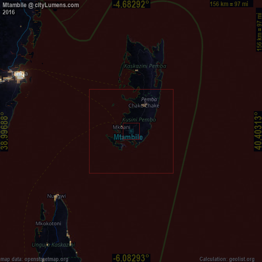
Analysis of Mtambile night lights 2016
Square area 10x10 km:
 0%
0%90-99
0%80-89
0%70-79
0%60-69
0%50-59
0%40-49
0%30-39
0%20-29
0%10-19
0%0-9
100%Square area 50x50 km:
0%90-99
0%80-89
0%70-79
0%60-69
0%50-59
0%40-49
0.07%30-39
0.14%20-29
0.07%10-19
0.1%0-9
99.62%Clear (daylight) street map image can be seen on geolist.org.
Map coordinates:
4° 40' 58.5" South, 38° 59' 48.8" East
5° 22' 60" South, 39° 42' 0" East
6° 4' 58.5" South, 40° 24' 11.3" East
Some cities around Mtambile sort by population:
• Tanga
75.2 km =46.7 mi,  297°
297°
• Wete
36.6 km =22.7 mi,  5°
5°
• Chake Chake
17 km =10.6 mi,  25°
25°
• Micheweni
48.6 km =30.2 mi,  17°
17°
• Konde
48.5 km =30.1 mi, 6°
• Pangani
80.4 km =50 mi,  266°
266°
• Nungwi
58.6 km =36.4 mi,  229°
229°
• Mkokotoni
73.6 km =45.7 mi,  221°
221°
152877 (p: 6,797)
Sources (retrieved 2019-11-25):
» Earth at Night: Flat Maps 2012, 2016