Bururi night lights from space
Night Light of Bururi from space (Burundi) Src. Average luminocity for 10x10km area is 0% and for 50x50km: 0.0068%.
Analysis of Bururi night lights 2016
Square area 10x10 km:
100  0%
0%
90-99 0%
80-89 0%
70-79 0%
60-69 0%
50-59 0%
40-49 0%
30-39 0%
20-29 0%
10-19 0%
0-9 100%
0%90-99
0%80-89
0%70-79
0%60-69
0%50-59
0%40-49
0%30-39
0%20-29
0%10-19
0%0-9
100%Square area 50x50 km:
100 0%
90-99 0%
80-89 0%
70-79 0%
60-69 0%
50-59 0%
40-49 0%
30-39 0%
20-29 0%
10-19 0.03%
0-9 99.97%
0%90-99
0%80-89
0%70-79
0%60-69
0%50-59
0%40-49
0%30-39
0%20-29
0%10-19
0.03%0-9
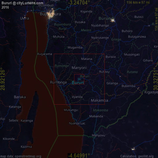
99.97%Clear (daylight) street map image can be seen on geolist.org.
Map coordinates:
3° 14' 49.3" South, 28° 55' 16.5" East
3° 56' 55.6" South, 29° 37' 27.8" East
4° 38' 59.7" South, 30° 19' 39" East
Some cities around Bururi sort by population:
• Bujumbura
69.5 km =43.2 mi,  335°
335°
• Gitega
66.9 km =41.6 mi,  29°
29°
• Rutana
40.8 km =25.4 mi,  86°
86°
• Makamba
28.7 km =17.8 mi,  136°
136°
• Muramvya
75.7 km =47 mi,  358°
358°
• Rumonge
20.8 km =12.9 mi,  262°
262°
• Mwaro
49.4 km =30.7 mi,  10°
10°
• Isale
68.5 km =42.6 mi,  346°
346°
423328 (p: 19,740)
Sources (retrieved 2019-11-25):
» Earth at Night: Flat Maps 2012, 2016