Kasulu night lights from space
Night Light of Kasulu (Kigoma) from space (Tanzania) Src. Average luminocity for 10x10km area is 3.2252% and for 50x50km: 0.1338%.

Analysis of Kasulu night lights 2016
Square area 10x10 km:
 0%
0%90-99
0%80-89
1.65%70-79
0%60-69
0%50-59
0%40-49
1.65%30-39
0.83%20-29
0.83%10-19
2.07%0-9
92.98%Square area 50x50 km:
0%90-99
0%80-89
0.07%70-79
0%60-69
0%50-59
0%40-49
0.07%30-39
0.03%20-29
0.03%10-19
0.09%0-9
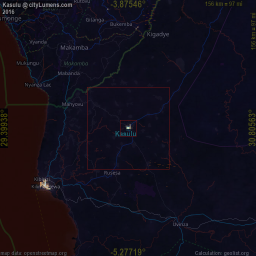
99.71%Clear (daylight) street map image can be seen on geolist.org.
Map coordinates:
3° 52' 31.7" South, 29° 23' 57.8" East
4° 34' 36" South, 30° 6' 9" East
5° 16' 37.9" South, 30° 48' 20.3" East
Some cities around Kasulu sort by population:
• Kigoma
62.4 km =38.8 mi,  237°
237°
• Uvinza
66.7 km =41.4 mi,  151°
151°
• Rutana, BI
73.2 km =45.5 mi,  350°
350°
• Bururi, BI
87.7 km =54.5 mi,  322°
322°
• Makamba, BI
59.2 km =36.8 mi,  326°
326°
• Mwandiga
56.7 km =35.2 mi, 240°
• Mabamba
117.5 km =73 mi,  22°
22°
• Rumonge, BI
99.6 km =61.9 mi,  312°
312°
158214 (p: 37,349)
Sources (retrieved 2019-11-25):
» Earth at Night: Flat Maps 2012, 2016