Makamba night lights from space
Night Light of Makamba from space (Burundi) Src. Average luminocity for 10x10km area is 0% and for 50x50km: 0.0118%.
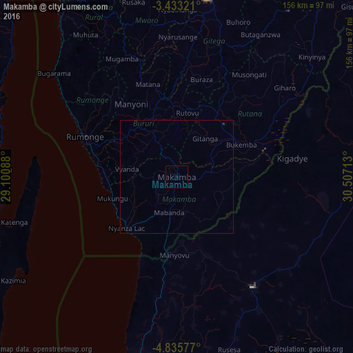
Analysis of Makamba night lights 2016
Square area 10x10 km:
100  0%
0%
90-99 0%
80-89 0%
70-79 0%
60-69 0%
50-59 0%
40-49 0%
30-39 0%
20-29 0%
10-19 0%
0-9 100%
0%90-99
0%80-89
0%70-79
0%60-69
0%50-59
0%40-49
0%30-39
0%20-29
0%10-19
0%0-9
100%Square area 50x50 km:
100 0%
90-99 0%
80-89 0%
70-79 0%
60-69 0%
50-59 0%
40-49 0%
30-39 0.03%
20-29 0%
10-19 0%
0-9 99.97%
0%90-99
0%80-89
0%70-79
0%60-69
0%50-59
0%40-49
0%30-39
0.03%20-29
0%10-19
0%0-9
99.97%Clear (daylight) street map image can be seen on geolist.org.
Map coordinates:
3° 25' 59.6" South, 29° 6' 3.2" East
4° 8' 5.3" South, 29° 48' 14.4" East
4° 50' 8.8" South, 30° 30' 25.7" East
Some cities around Makamba sort by population:
• Kigoma, TZ
84.8 km =52.7 mi,  193°
193°
• Gitega
79.8 km =49.6 mi,  9°
9°
• Kasulu, TZ
59.2 km =36.8 mi,  146°
146°
• Rutana
31 km =19.3 mi,  42°
42°
• Bururi
28.7 km =17.8 mi,  316°
316°
• Mwandiga, TZ
79 km =49.1 mi, 191°
• Rumonge
44.3 km =27.5 mi,  293°
293°
• Mwaro
70.2 km =43.6 mi,  350°
350°
422232 (p: 19,642)
Sources (retrieved 2019-11-25):
» Earth at Night: Flat Maps 2012, 2016