Mto wa Mbu night lights from space
Night Light of Mto wa Mbu (Arusha) from space (Tanzania) Src. Average luminocity for 10x10km area is 0.2965% and for 50x50km: 0.1452%.
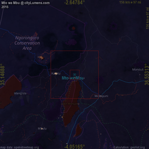
Analysis of Mto wa Mbu night lights 2016
Square area 10x10 km:
 0%
0%90-99
0%80-89
0%70-79
0%60-69
0%50-59
0%40-49
0%30-39
0%20-29
0%10-19
1.73%0-9
98.27%Square area 50x50 km:
0%90-99
0%80-89
0.03%70-79
0%60-69
0%50-59
0.07%40-49
0.07%30-39
0.01%20-29
0.06%10-19
0.08%0-9
99.68%Clear (daylight) street map image can be seen on geolist.org.
Map coordinates:
2° 38' 52.2" South, 35° 8' 48.8" East
3° 21' 0" South, 35° 51' 0" East
4° 3' 5.9" South, 36° 33' 11.3" East
Some cities around Mto wa Mbu sort by population:
• Arusha
92.5 km =57.5 mi,  91°
91°
• Babati
97 km =60.3 mi,  186°
186°
• Magugu
74.7 km =46.4 mi, 187°
• Kiratu
20.4 km =12.7 mi,  275°
275°
• Dongobesh
95 km =59 mi,  213°
213°
• Mbulu
65.8 km =40.9 mi, 212°
• Ngorongoro
42.1 km =26.2 mi,  286°
286°
• Monduli
66.8 km =41.5 mi, 85°
152743 (p: 17,754)
Sources (retrieved 2019-11-25):
» Earth at Night: Flat Maps 2012, 2016