Mbulu night lights from space
Night Light of Mbulu (Manyara) from space (Tanzania) Src. Average luminocity for 10x10km area is 0.9545% and for 50x50km: 0.0741%.
Analysis of Mbulu night lights 2016
Square area 10x10 km:
 0%
0%90-99
0%80-89
0%70-79
0%60-69
0.87%50-59
0%40-49
0%30-39
0%20-29
0.87%10-19
0.87%0-9
97.4%Square area 50x50 km:
0%90-99
0%80-89
0%70-79
0%60-69
0.07%50-59
0%40-49
0%30-39
0%20-29
0.07%10-19
0.07%0-9
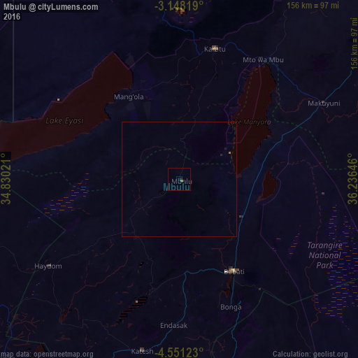
99.8%Clear (daylight) street map image can be seen on geolist.org.
Map coordinates:
3° 8' 53.5" South, 34° 49' 48.8" East
3° 51' 0" South, 35° 31' 60" East
4° 33' 4.4" South, 36° 14' 11.3" East
Some cities around Mbulu sort by population:
• Babati
47.3 km =29.4 mi,  149°
149°
• Magugu
31.8 km =19.8 mi,  125°
125°
• Dareda
40.8 km =25.4 mi,  177°
177°
• Kiratu
59.3 km =36.8 mi,  14°
14°
• Bashanet
44.5 km =27.7 mi,  196°
196°
• Dongobesh
29.3 km =18.2 mi,  214°
214°
• Galappo
58.1 km =36.1 mi,  142°
142°
• Endasak
63 km =39.1 mi, 181°
154313 (p: 13,430)
Sources (retrieved 2019-11-25):
» Earth at Night: Flat Maps 2012, 2016