Monduli night lights from space
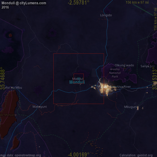
Night Light of Monduli (Arusha) from space (Tanzania) Src. Average luminocity for 10x10km area is 0.013% and for 50x50km: 1.5339%.
Analysis of Monduli night lights 2016
Square area 10x10 km:
100  0%
0%
90-99 0%
80-89 0%
70-79 0%
60-69 0%
50-59 0%
40-49 0%
30-39 0%
20-29 0%
10-19 0%
0-9 100%
0%90-99
0%80-89
0%70-79
0%60-69
0%50-59
0%40-49
0%30-39
0%20-29
0%10-19
0%0-9
100%Square area 50x50 km:
100 0%
90-99 0%
80-89 0.29%
70-79 0.39%
60-69 0.29%
50-59 0.1%
40-49 0.36%
30-39 0.42%
20-29 0.33%
10-19 1.55%
0-9 96.26%
0%90-99
0%80-89
0.29%70-79
0.39%60-69
0.29%50-59
0.1%40-49
0.36%30-39
0.42%20-29
0.33%10-19
1.55%0-9
96.26%Clear (daylight) street map image can be seen on geolist.org.
Map coordinates:
2° 35' 52.1" South, 35° 44' 48.8" East
3° 18' 0" South, 36° 27' 0" East
4° 0' 6.1" South, 37° 9' 11.3" East
Some cities around Monduli sort by population:
• Arusha
26.9 km =16.7 mi,  105°
105°
• Merelani
65.5 km =40.7 mi,  116°
116°
• Kingori
59.2 km =36.8 mi,  88°
88°
• Usa River
45 km =28 mi,  99°
99°
• Mto wa Mbu
66.8 km =41.5 mi,  265°
265°
• Mbuguni
62.9 km =39.1 mi, 118°
• Nkoaranga
39 km =24.2 mi, 95°
• Poli
39 km =24.2 mi, 95°
153247 (p: 5,694)
Sources (retrieved 2019-11-25):
» Earth at Night: Flat Maps 2012, 2016