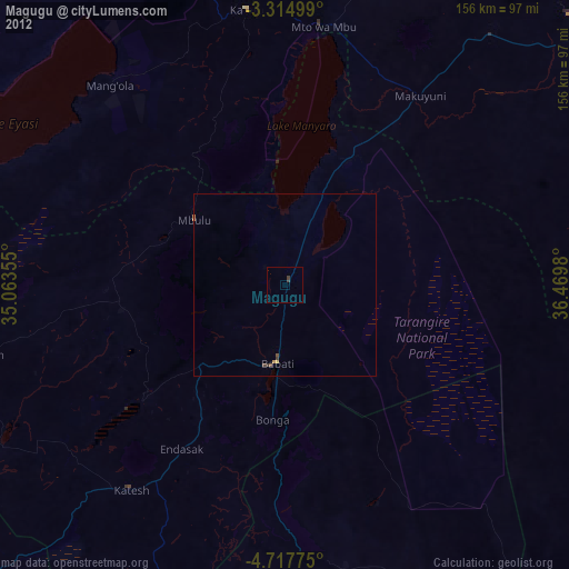
Magugu night lights from space
Night Light of Magugu (Manyara) from space (Tanzania) Src. Average luminocity for 10x10km area is 0.5087% and for 50x50km: 0.3117%.
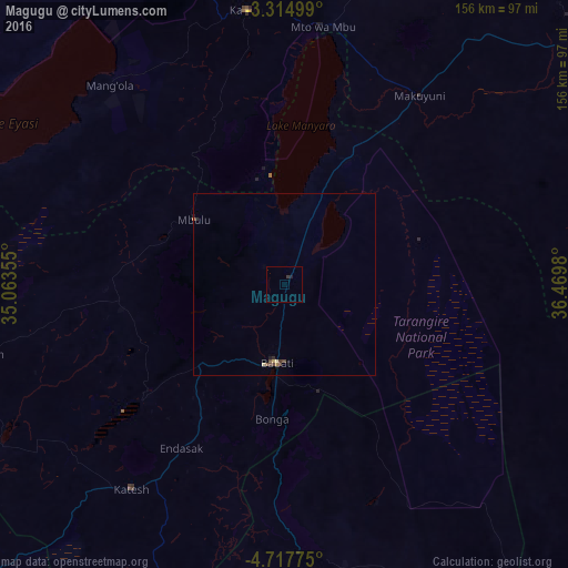
Analysis of Magugu night lights 2016
Square area 10x10 km:
 0%
0%90-99
0%80-89
0%70-79
0%60-69
0%50-59
0%40-49
0%30-39
0.87%20-29
0%10-19
0.87%0-9
98.27%Square area 50x50 km:
0%90-99
0%80-89
0.09%70-79
0.01%60-69
0.05%50-59
0.03%40-49
0.17%30-39
0.07%20-29
0.07%10-19
0.11%0-9
99.4%Clear (daylight) street map image can be seen on geolist.org.
Map coordinates:
3° 18' 54" South, 35° 3' 48.8" East
4° 1' 0" South, 35° 46' 0" East
4° 43' 3.9" South, 36° 28' 11.3" East
Some cities around Magugu sort by population:
• Babati
22.3 km =13.9 mi,  184°
184°
• Dareda
32.7 km =20.3 mi,  227°
227°
• Bashanet
45.7 km =28.4 mi,  238°
238°
• Dongobesh
42.9 km =26.7 mi,  262°
262°
• Nangwa
61.1 km =38 mi,  215°
215°
• Galappo
29.3 km =18.2 mi,  161°
161°
• Endasak
52.4 km =32.6 mi,  211°
211°
• Mbulu
31.8 km =19.8 mi,  305°
305°
155310 (p: 26,131)
Sources (retrieved 2019-11-25):
» Earth at Night: Flat Maps 2012, 2016