Dongobesh night lights from space
Night Light of Dongobesh (Manyara) from space (Tanzania) Src. Average luminocity for 10x10km area is 0% and for 50x50km: 0.0369%.
Analysis of Dongobesh night lights 2016
Square area 10x10 km:
100  0%
0%
90-99 0%
80-89 0%
70-79 0%
60-69 0%
50-59 0%
40-49 0%
30-39 0%
20-29 0%
10-19 0%
0-9 100%
0%90-99
0%80-89
0%70-79
0%60-69
0%50-59
0%40-49
0%30-39
0%20-29
0%10-19
0%0-9
100%Square area 50x50 km:
100 0%
90-99 0%
80-89 0%
70-79 0%
60-69 0.03%
50-59 0%
40-49 0%
30-39 0%
20-29 0.03%
10-19 0.03%
0-9 99.9%
0%90-99
0%80-89
0%70-79
0%60-69
0.03%50-59
0%40-49
0%30-39
0%20-29
0.03%10-19
0.03%0-9
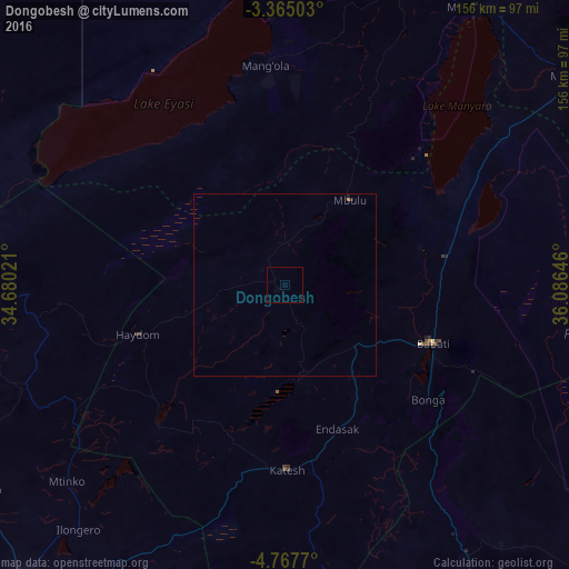
99.9%Clear (daylight) street map image can be seen on geolist.org.
Map coordinates:
3° 21' 54.1" South, 34° 40' 48.8" East
4° 4' 0" South, 35° 22' 60" East
4° 46' 3.7" South, 36° 5' 11.3" East
Some cities around Dongobesh sort by population:
• Babati
44 km =27.3 mi,  112°
112°
• Magugu
42.9 km =26.7 mi,  82°
82°
• Basotu
47.1 km =29.3 mi,  224°
224°
• Dareda
24.9 km =15.5 mi,  132°
132°
• Bashanet
18.9 km =11.7 mi,  168°
168°
• Nangwa
45.1 km =28 mi, 170°
• Endasak
41.6 km =25.8 mi,  159°
159°
• Mbulu
29.3 km =18.2 mi,  34°
34°
160172 (p: 18,864)
Sources (retrieved 2019-11-25):
» Earth at Night: Flat Maps 2012, 2016