Babati night lights from space
Night Light of Babati (Manyara) from space (Tanzania) Src. Average luminocity for 10x10km area is 6.7468% and for 50x50km: 0.2987%.
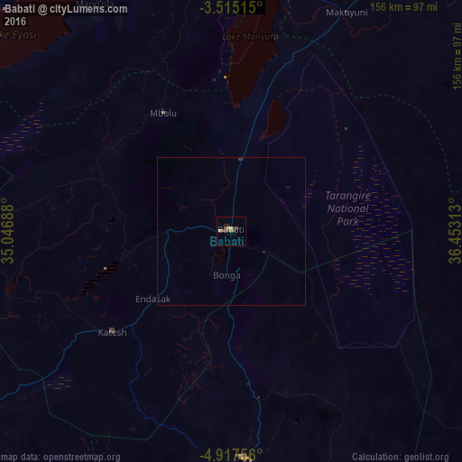
Analysis of Babati night lights 2016
Square area 10x10 km:
100  0%
0%
90-99 0%
80-89 2.38%
70-79 0.22%
60-69 0.87%
50-59 0.87%
40-49 4.33%
30-39 0.87%
20-29 0.87%
10-19 1.52%
0-9 88.1%
0%90-99
0%80-89
2.38%70-79
0.22%60-69
0.87%50-59
0.87%40-49
4.33%30-39
0.87%20-29
0.87%10-19
1.52%0-9
88.1%Square area 50x50 km:
100 0%
90-99 0%
80-89 0.09%
70-79 0.01%
60-69 0.03%
50-59 0.03%
40-49 0.17%
30-39 0.07%
20-29 0.07%
10-19 0.09%
0-9 99.43%
0%90-99
0%80-89
0.09%70-79
0.01%60-69
0.03%50-59
0.03%40-49
0.17%30-39
0.07%20-29
0.07%10-19
0.09%0-9
99.43%Clear (daylight) street map image can be seen on geolist.org.
Map coordinates:
3° 30' 54.5" South, 35° 2' 48.8" East
4° 13' 0" South, 35° 45' 0" East
4° 55' 3.2" South, 36° 27' 11.3" East
Some cities around Babati sort by population:
• Magugu
22.3 km =13.9 mi,  4°
4°
• Dareda
22.2 km =13.8 mi,  270°
270°
• Bashanet
37 km =23 mi, 267°
• Dongobesh
44 km =27.3 mi,  292°
292°
• Nangwa
43.3 km =26.9 mi,  230°
230°
• Galappo
12.4 km =7.7 mi,  116°
116°
• Endasak
34.1 km =21.2 mi, 229°
• Mbulu
47.3 km =29.4 mi,  329°
329°
161312 (p: 34,291)
Sources (retrieved 2019-11-25):
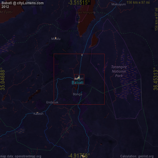
» Earth at Night: Flat Maps 2012, 2016