Kiratu night lights from space
Night Light of Kiratu (Arusha) from space (Tanzania) Src. Average luminocity for 10x10km area is 3.3312% and for 50x50km: 0.2494%.
Analysis of Kiratu night lights 2016
Square area 10x10 km:
 0%
0%90-99
0%80-89
0.87%70-79
0%60-69
0%50-59
1.73%40-49
1.73%30-39
0.22%20-29
1.52%10-19
0.22%0-9
93.72%Square area 50x50 km:
0%90-99
0%80-89
0.03%70-79
0%60-69
0%50-59
0.07%40-49
0.19%30-39
0.03%20-29
0.19%10-19
0.08%0-9
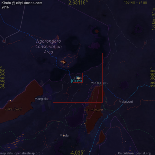
99.4%Clear (daylight) street map image can be seen on geolist.org.
Map coordinates:
2° 37' 52.2" South, 34° 57' 48.8" East
3° 19' 60" South, 35° 40' 0" East
4° 2' 6" South, 36° 22' 11.3" East
Some cities around Kiratu sort by population:
• Babati
98.7 km =61.3 mi,  174°
174°
• Magugu
76.8 km =47.7 mi, 171°
• Dareda
99.1 km =61.6 mi,  187°
187°
• Dongobesh
87.4 km =54.3 mi,  201°
201°
• Mto wa Mbu
20.4 km =12.7 mi,  95°
95°
• Mbulu
59.3 km =36.8 mi, 194°
• Ngorongoro
22.5 km =14 mi,  297°
297°
• Monduli
87 km =54.1 mi,  87°
87°
158324 (p: 19,803)
Sources (retrieved 2019-11-25):
» Earth at Night: Flat Maps 2012, 2016