Mbeya night lights from space
Night Light of Mbeya from space (Tanzania) Src. Average luminocity for 10x10km area is 44.4935% and for 50x50km: 3.5053%.
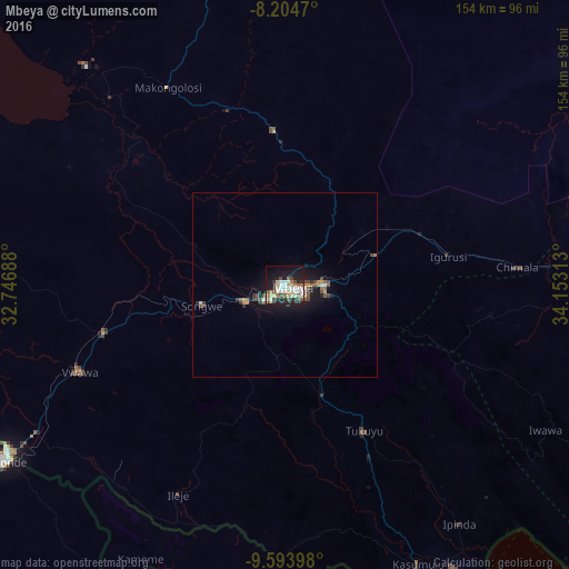
Analysis of Mbeya night lights 2016
Square area 10x10 km:
 9.09%
9.09%90-99
9.74%80-89
6.71%70-79
2.38%60-69
7.36%50-59
3.25%40-49
8.23%30-39
2.81%20-29
10.17%10-19
29.87%0-9
10.39%Square area 50x50 km:
0.4%90-99
0.54%80-89
0.33%70-79
0.28%60-69
0.54%50-59
0.43%40-49
0.86%30-39
0.32%20-29
0.59%10-19
3.53%0-9
92.16%Clear (daylight) street map image can be seen on geolist.org.
Map coordinates:
8° 12' 16.9" South, 32° 44' 48.8" East
8° 54' 0" South, 33° 27' 0" East
9° 35' 38.3" South, 34° 9' 11.3" East
Some cities around Mbeya sort by population:
• Katumba
41.3 km =25.7 mi,  153°
153°
• Tukuyu
44.7 km =27.8 mi, 150°
• Igurusi
44.3 km =27.5 mi,  82°
82°
• Kiwira
32 km =19.9 mi,  161°
161°
• Mlowo
52.4 km =32.6 mi,  257°
257°
• Ulenje
25.9 km =16.1 mi,  98°
98°
• Matamba
57.5 km =35.7 mi, 99°
• Kandete
47.4 km =29.5 mi,  125°
125°
154380 (p: 291,649)
Sources (retrieved 2019-11-25):
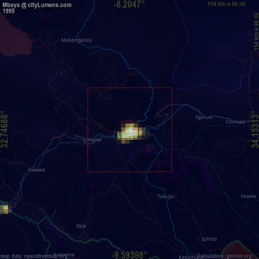
» NASA, Earths city lights 1995
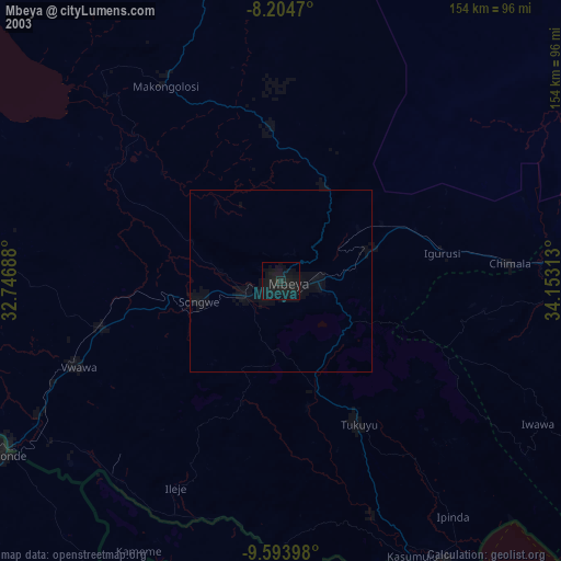
» NASA city lights 2003
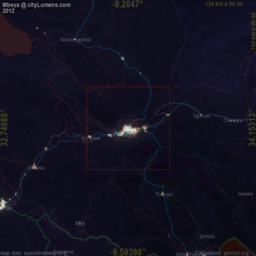
» Earth at Night: Flat Maps 2012, 2016