Matamba night lights from space
Night Light of Matamba (Njombe) from space (Tanzania) Src. Average luminocity for 10x10km area is 0% and for 50x50km: 0.0682%.
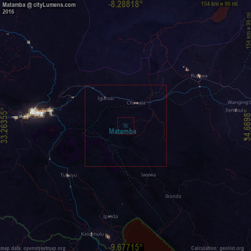
Analysis of Matamba night lights 2016
Square area 10x10 km:
100  0%
0%
90-99 0%
80-89 0%
70-79 0%
60-69 0%
50-59 0%
40-49 0%
30-39 0%
20-29 0%
10-19 0%
0-9 100%
0%90-99
0%80-89
0%70-79
0%60-69
0%50-59
0%40-49
0%30-39
0%20-29
0%10-19
0%0-9
100%Square area 50x50 km:
100 0%
90-99 0%
80-89 0%
70-79 0%
60-69 0%
50-59 0.03%
40-49 0.05%
30-39 0.05%
20-29 0.02%
10-19 0.02%
0-9 99.83%
0%90-99
0%80-89
0%70-79
0%60-69
0%50-59
0.03%40-49
0.05%30-39
0.05%20-29
0.02%10-19
0.02%0-9
99.83%Clear (daylight) street map image can be seen on geolist.org.
Map coordinates:
8° 17' 17.4" South, 33° 15' 48.8" East
8° 58' 60" South, 33° 58' 0" East
9° 40' 37.7" South, 34° 40' 11.3" East
Some cities around Matamba sort by population:
• Katumba
47.4 km =29.5 mi,  234°
234°
• Tukuyu
45.7 km =28.4 mi, 229°
• Igurusi
19.6 km =12.2 mi,  319°
319°
• Chimala
15.5 km =9.6 mi,  24°
24°
• Kiwira
51.2 km =31.8 mi,  245°
245°
• Masoko
45.6 km =28.3 mi,  211°
211°
• Ulenje
31.6 km =19.6 mi,  280°
280°
• Kandete
26 km =16.2 mi,  224°
224°
154635 (p: 10,642)
Sources (retrieved 2019-11-25):
» Earth at Night: Flat Maps 2012, 2016