Katumba night lights from space
Night Light of Katumba (Mbeya) from space (Tanzania) Src. Average luminocity for 10x10km area is 1.368% and for 50x50km: 0.0851%.
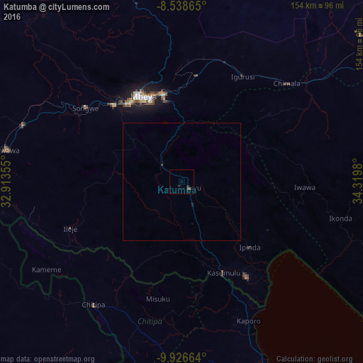
Analysis of Katumba night lights 2016
Square area 10x10 km:
 0%
0%90-99
0%80-89
0%70-79
0%60-69
0%50-59
0.43%40-49
1.3%30-39
0.87%20-29
0.87%10-19
0%0-9
96.54%Square area 50x50 km:
0%90-99
0%80-89
0%70-79
0%60-69
0%50-59
0.02%40-49
0.05%30-39
0.07%20-29
0.07%10-19
0.05%0-9
99.75%Clear (daylight) street map image can be seen on geolist.org.
Map coordinates:
8° 32' 19.1" South, 32° 54' 48.8" East
9° 13' 60" South, 33° 37' 0" East
9° 55' 35.9" South, 34° 19' 11.3" East
Some cities around Katumba sort by population:
• Mbeya
41.3 km =25.7 mi,  333°
333°
• Kyela
46.6 km =29 mi,  146°
146°
• Tukuyu
4.1 km =2.5 mi,  116°
116°
• Kiwira
10.6 km =6.6 mi,  309°
309°
• Ipinda
41.7 km =25.9 mi,  131°
131°
• Masoko
18.4 km =11.4 mi, 127°
• Ulenje
34.2 km =21.3 mi,  12°
12°
• Kandete
22.2 km =13.8 mi,  65°
65°
158151 (p: 108,558)
Sources (retrieved 2019-11-25):
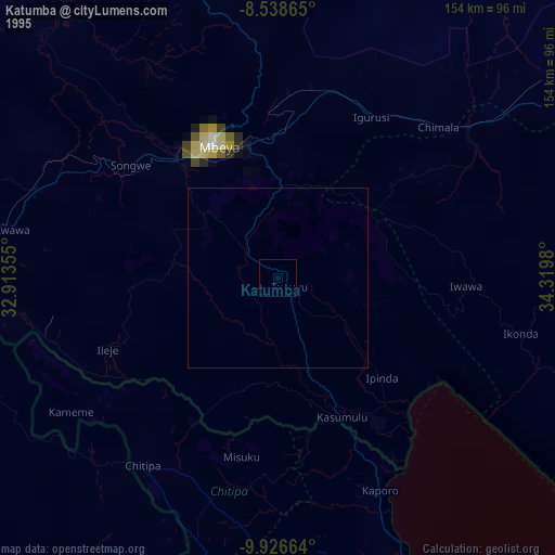
» NASA, Earths city lights 1995
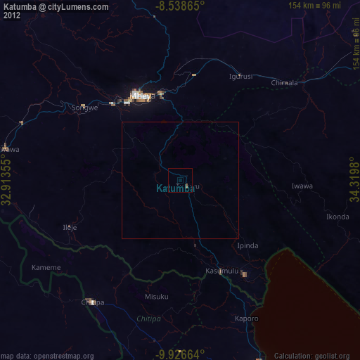
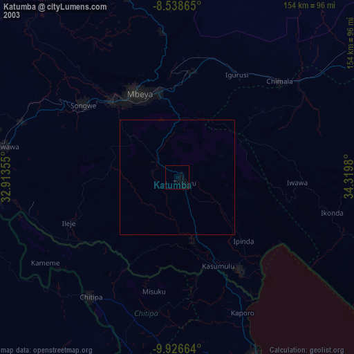
» NASA city lights 2003
» Earth at Night: Flat Maps 2012, 2016