Igurusi night lights from space
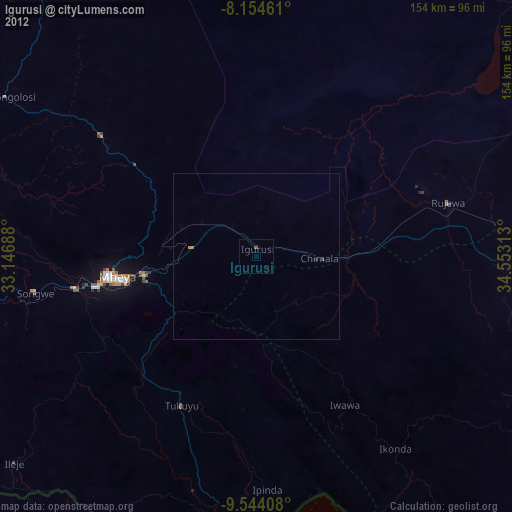
Night Light of Igurusi (Mbeya) from space (Tanzania) Src. Average luminocity for 10x10km area is 0.3506% and for 50x50km: 0.1057%.
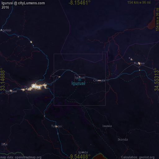
Analysis of Igurusi night lights 2016
Square area 10x10 km:
100  0%
0%
90-99 0%
80-89 0%
70-79 0%
60-69 0%
50-59 0%
40-49 0.43%
30-39 0.43%
20-29 0%
10-19 0%
0-9 99.13%
0%90-99
0%80-89
0%70-79
0%60-69
0%50-59
0%40-49
0.43%30-39
0.43%20-29
0%10-19
0%0-9
99.13%Square area 50x50 km:
100 0%
90-99 0%
80-89 0%
70-79 0%
60-69 0%
50-59 0.07%
40-49 0.08%
30-39 0.05%
20-29 0.02%
10-19 0.02%
0-9 99.76%
0%90-99
0%80-89
0%70-79
0%60-69
0%50-59
0.07%40-49
0.08%30-39
0.05%20-29
0.02%10-19
0.02%0-9
99.76%Clear (daylight) street map image can be seen on geolist.org.
Map coordinates:
8° 9' 16.6" South, 33° 8' 48.8" East
8° 51' 0" South, 33° 51' 0" East
9° 32' 38.7" South, 34° 33' 11.3" East
Some cities around Igurusi sort by population:
• Mbeya
44.3 km =27.5 mi,  262°
262°
• Katumba
49.7 km =30.9 mi,  211°
211°
• Tukuyu
49.6 km =30.8 mi, 206°
• Chimala
19.1 km =11.9 mi,  92°
92°
• Kiwira
49.4 km =30.7 mi,  223°
223°
• Ulenje
20.5 km =12.7 mi,  243°
243°
• Matamba
19.6 km =12.2 mi,  139°
139°
• Kandete
33.8 km =21 mi,  189°
189°
159380 (p: 24,895)
Sources (retrieved 2019-11-25):
» Earth at Night: Flat Maps 2012, 2016