Magole night lights from space
Night Light of Magole (Morogoro) from space (Tanzania) Src. Average luminocity for 10x10km area is 0.5152% and for 50x50km: 0.0393%.
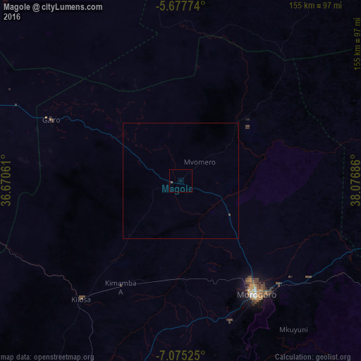
Analysis of Magole night lights 2016
Square area 10x10 km:
 0%
0%90-99
0%80-89
0%70-79
0%60-69
0%50-59
0.87%40-49
0%30-39
0%20-29
0%10-19
0%0-9
99.13%Square area 50x50 km:
0%90-99
0%80-89
0%70-79
0%60-69
0%50-59
0.03%40-49
0.03%30-39
0%20-29
0%10-19
0%0-9
99.93%Clear (daylight) street map image can be seen on geolist.org.
Map coordinates:
5° 40' 39.9" South, 36° 40' 14.2" East
6° 22' 37.1" South, 37° 22' 25.4" East
7° 4' 30.9" South, 38° 4' 36.7" East
Some cities around Magole sort by population:
• Morogoro
58.7 km =36.5 mi,  147°
147°
• Kilosa
66.6 km =41.4 mi,  220°
220°
• Geiro
61.5 km =38.2 mi,  294°
294°
• Mpwapwa
98.4 km =61.1 mi,  271°
271°
• Msowero
25.9 km =16.1 mi,  227°
227°
• Ngerengere
92 km =57.2 mi,  116°
116°
• Lugoba
106.3 km =66.1 mi,  94°
94°
• Kimamba
52.4 km =32.6 mi,  210°
210°
155334 (p: 18,753)
Sources (retrieved 2019-11-25):
» Earth at Night: Flat Maps 2012, 2016