Kilosa night lights from space
Night Light of Kilosa (Morogoro) from space (Tanzania) Src. Average luminocity for 10x10km area is 2.1926% and for 50x50km: 0.0989%.
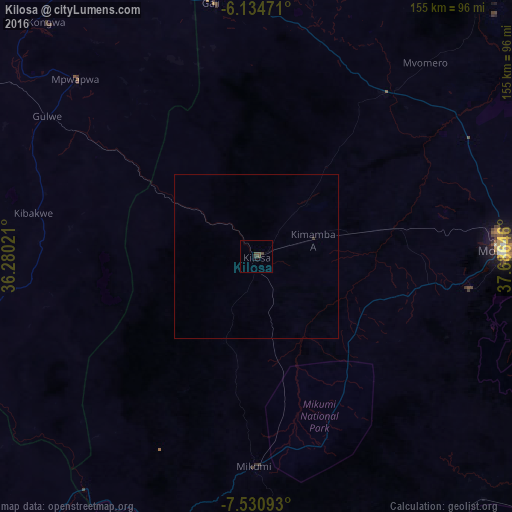
Analysis of Kilosa night lights 2016
Square area 10x10 km:
 0%
0%90-99
0%80-89
0%70-79
0%60-69
0%50-59
0.65%40-49
2.81%30-39
0.87%20-29
0%10-19
0.87%0-9
94.81%Square area 50x50 km:
0%90-99
0%80-89
0%70-79
0%60-69
0%50-59
0.03%40-49
0.11%30-39
0.07%20-29
0%10-19
0.03%0-9
99.76%Clear (daylight) street map image can be seen on geolist.org.
Map coordinates:
6° 8' 5" South, 36° 16' 48.8" East
6° 49' 60" South, 36° 58' 60" East
7° 31' 51.3" South, 37° 41' 11.3" East
Some cities around Kilosa sort by population:
• Morogoro
74.9 km =46.5 mi,  88°
88°
• Geiro
77.1 km =47.9 mi,  350°
350°
• Mpwapwa
77.1 km =47.9 mi,  314°
314°
• Kibakwe
69.3 km =43.1 mi,  280°
280°
• Magole
66.6 km =41.4 mi,  40°
40°
• Msowero
41.1 km =25.5 mi, 35°
• Mikumi
63.5 km =39.5 mi,  180°
180°
• Kimamba
17.5 km =10.9 mi,  71°
71°
157403 (p: 91,889)
Sources (retrieved 2019-11-25):
» NASA, Earths city lights 1995
» NASA city lights 2003
» Earth at Night: Flat Maps 2012, 2016