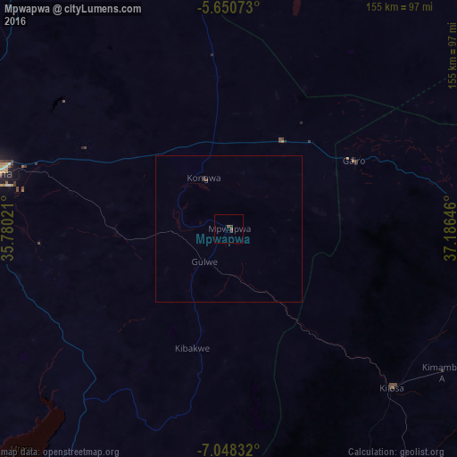
Mpwapwa night lights from space
Night Light of Mpwapwa (Dodoma) from space (Tanzania) Src. Average luminocity for 10x10km area is 1.5238% and for 50x50km: 0.1019%.
Analysis of Mpwapwa night lights 2016
Square area 10x10 km:
100  0%
0%
90-99 0%
80-89 0%
70-79 0%
60-69 0%
50-59 1.08%
40-49 0.65%
30-39 1.73%
20-29 0%
10-19 0%
0-9 96.54%
0%90-99
0%80-89
0%70-79
0%60-69
0%50-59
1.08%40-49
0.65%30-39
1.73%20-29
0%10-19
0%0-9
96.54%Square area 50x50 km:
100 0%
90-99 0%
80-89 0%
70-79 0%
60-69 0%
50-59 0.04%
40-49 0.06%
30-39 0.14%
20-29 0%
10-19 0%
0-9 99.76%
0%90-99
0%80-89
0%70-79
0%60-69
0%50-59
0.04%40-49
0.06%30-39
0.14%20-29
0%10-19
0%0-9
99.76%Clear (daylight) street map image can be seen on geolist.org.
Map coordinates:
5° 39' 2.6" South, 35° 46' 48.8" East
6° 21' 0" South, 36° 28' 60" East
7° 2' 54" South, 37° 11' 11.3" East
Some cities around Mpwapwa sort by population:
• Dodoma
84.6 km =52.6 mi,  283°
283°
• Kilosa
77.1 km =47.9 mi,  134°
134°
• Geiro
47.9 km =29.8 mi,  62°
62°
• Kibakwe
42.8 km =26.6 mi,  197°
197°
• Msowero
81.8 km =50.8 mi,  104°
104°
• Kongwa
18.2 km =11.3 mi,  336°
336°
• Kisasa
78.8 km =49 mi, 284°
• Msanga
59.9 km =37.2 mi,  303°
303°
153094 (p: 19,806)
Sources (retrieved 2019-11-25):
» Earth at Night: Flat Maps 2012, 2016