Geiro night lights from space
Night Light of Geiro (Morogoro) from space (Tanzania) Src. Average luminocity for 10x10km area is 2.1033% and for 50x50km: 0.1736%.
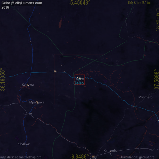
Analysis of Geiro night lights 2016
Square area 10x10 km:
100  0%
0%
90-99 0%
80-89 0%
70-79 0.41%
60-69 0.62%
50-59 0.62%
40-49 0%
30-39 2.27%
20-29 0.21%
10-19 0%
0-9 95.87%
0%90-99
0%80-89
0%70-79
0.41%60-69
0.62%50-59
0.62%40-49
0%30-39
2.27%20-29
0.21%10-19
0%0-9
95.87%Square area 50x50 km:
100 0%
90-99 0%
80-89 0%
70-79 0.03%
60-69 0.05%
50-59 0.03%
40-49 0.06%
30-39 0.14%
20-29 0.08%
10-19 0%
0-9 99.62%
0%90-99
0%80-89
0%70-79
0.03%60-69
0.05%50-59
0.03%40-49
0.06%30-39
0.14%20-29
0.08%10-19
0%0-9
99.62%Clear (daylight) street map image can be seen on geolist.org.
Map coordinates:
5° 27' 1.7" South, 36° 9' 48.8" East
6° 9' 0" South, 36° 52' 0" East
6° 50' 55" South, 37° 34' 11.3" East
Some cities around Geiro sort by population:
• Kilosa
77.1 km =47.9 mi,  170°
170°
• Mpwapwa
47.9 km =29.8 mi,  242°
242°
• Kibakwe
83.8 km =52.1 mi,  221°
221°
• Magole
61.5 km =38.2 mi,  114°
114°
• Msowero
56.3 km =35 mi,  139°
139°
• Kongwa
50.1 km =31.1 mi,  263°
263°
• Kimamba
76.3 km =47.4 mi,  157°
157°
• Msanga
92.8 km =57.7 mi,  276°
276°
159909 (p: 37,909)
Sources (retrieved 2019-11-25):
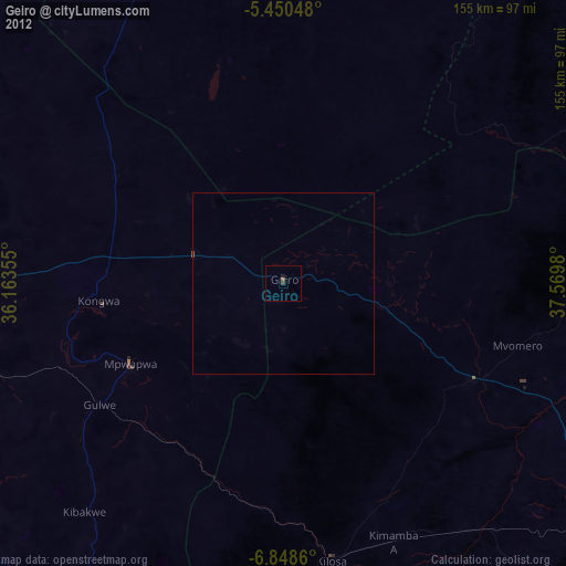
» Earth at Night: Flat Maps 2012, 2016