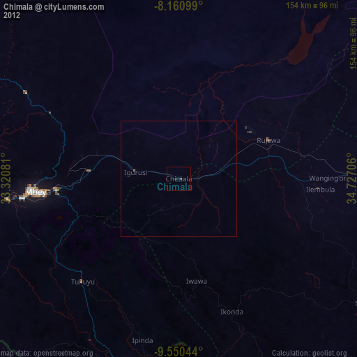
Chimala night lights from space
Night Light of Chimala (Mbeya) from space (Tanzania) Src. Average luminocity for 10x10km area is 1.2013% and for 50x50km: 0.0609%.
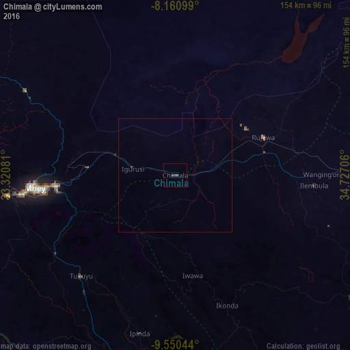
Analysis of Chimala night lights 2016
Square area 10x10 km:
 0%
0%90-99
0%80-89
0%70-79
0%60-69
0%50-59
0.87%40-49
0.87%30-39
0.87%20-29
0%10-19
0%0-9
97.4%Square area 50x50 km:
0%90-99
0%80-89
0%70-79
0%60-69
0%50-59
0.03%40-49
0.05%30-39
0.05%20-29
0%10-19
0%0-9
99.86%Clear (daylight) street map image can be seen on geolist.org.
Map coordinates:
8° 9' 39.6" South, 33° 19' 14.9" East
8° 51' 22.9" South, 34° 1' 26.1" East
9° 33' 1.6" South, 34° 43' 37.4" East
Some cities around Chimala sort by population:
• Katumba
61.3 km =38.1 mi,  226°
226°
• Rujewa
43.2 km =26.8 mi,  66°
66°
• Tukuyu
60 km =37.3 mi,  223°
223°
• Igurusi
19.1 km =11.9 mi,  272°
272°
• Masoko
61 km =37.9 mi,  209°
209°
• Ulenje
38.4 km =23.9 mi,  257°
257°
• Matamba
15.5 km =9.6 mi,  204°
204°
• Kandete
40.9 km =25.4 mi, 216°
160464 (p: 24,817)
Sources (retrieved 2019-11-25):
» Earth at Night: Flat Maps 2012, 2016