Dunda night lights from space
Night Light of Dunda (Mbeya) from space (Tanzania) Src. Average luminocity for 10x10km area is 0% and for 50x50km: 0%.
Analysis of Dunda night lights 2016
Square area 10x10 km:
100  0%
0%
90-99 0%
80-89 0%
70-79 0%
60-69 0%
50-59 0%
40-49 0%
30-39 0%
20-29 0%
10-19 0%
0-9 100%
0%90-99
0%80-89
0%70-79
0%60-69
0%50-59
0%40-49
0%30-39
0%20-29
0%10-19
0%0-9
100%Square area 50x50 km:
100 0%
90-99 0%
80-89 0%
70-79 0%
60-69 0%
50-59 0%
40-49 0%
30-39 0%
20-29 0%
10-19 0%
0-9 100%
0%90-99
0%80-89
0%70-79
0%60-69
0%50-59
0%40-49
0%30-39
0%20-29
0%10-19
0%0-9
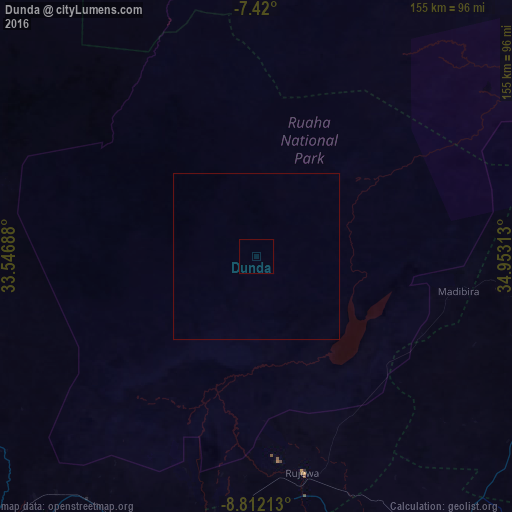
100%Clear (daylight) street map image can be seen on geolist.org.
Map coordinates:
7° 25' 12" South, 33° 32' 48.8" East
8° 7' 0" South, 34° 15' 0" East
8° 48' 43.7" South, 34° 57' 11.3" East
Some cities around Dunda sort by population:
• Makumbako
103.7 km =64.4 mi,  141°
141°
• Rujewa
66.5 km =41.3 mi,  167°
167°
• Igurusi
92.6 km =57.5 mi,  208°
208°
• Chimala
85.9 km =53.4 mi,  196°
196°
• Ilembula
94.5 km =58.7 mi,  157°
157°
• Ulenje
110.1 km =68.4 mi, 214°
• Matamba
101.3 km =62.9 mi, 197°
• Malangali
82.8 km =51.4 mi,  127°
127°
160141 (p: 14,080)
Sources (retrieved 2019-11-25):
» Earth at Night: Flat Maps 2012, 2016