Rujewa night lights from space
Night Light of Rujewa (Mbeya) from space (Tanzania) Src. Average luminocity for 10x10km area is 2.5331% and for 50x50km: 0.2202%.
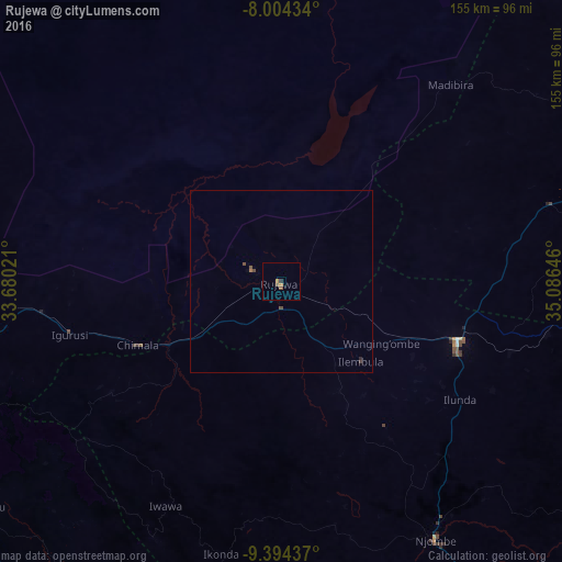
Analysis of Rujewa night lights 2016
Square area 10x10 km:
 0%
0%90-99
0%80-89
0%70-79
1.65%60-69
0%50-59
1.45%40-49
0.21%30-39
0.41%20-29
0.41%10-19
0%0-9
95.87%Square area 50x50 km:
0%90-99
0%80-89
0%70-79
0.07%60-69
0.03%50-59
0.09%40-49
0.11%30-39
0.05%20-29
0.05%10-19
0%0-9
99.6%Clear (daylight) street map image can be seen on geolist.org.
Map coordinates:
8° 0' 15.6" South, 33° 40' 48.8" East
8° 42' 0" South, 34° 22' 60" East
9° 23' 39.7" South, 35° 5' 11.3" East
Some cities around Rujewa sort by population:
• Makumbako
52.2 km =32.4 mi,  108°
108°
• Igurusi
60.9 km =37.8 mi,  254°
254°
• Chimala
43.2 km =26.8 mi, 246°
• Mtwango
57.8 km =35.9 mi,  127°
127°
• Ilembula
31.3 km =19.4 mi,  135°
135°
• Dunda
66.5 km =41.3 mi,  347°
347°
• Matamba
55.6 km =34.5 mi,  235°
235°
• Malangali
53.4 km =33.2 mi,  73°
73°
150453 (p: 29,228)
Sources (retrieved 2019-11-25):
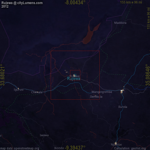
» Earth at Night: Flat Maps 2012, 2016