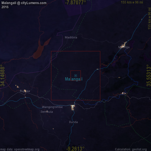
Malangali night lights from space
Night Light of Malangali (Iringa) from space (Tanzania) Src. Average luminocity for 10x10km area is 0% and for 50x50km: 0.0216%.
Analysis of Malangali night lights 2016
Square area 10x10 km:
 0%
0%90-99
0%80-89
0%70-79
0%60-69
0%50-59
0%40-49
0%30-39
0%20-29
0%10-19
0%0-9
100%Square area 50x50 km:
0%90-99
0%80-89
0%70-79
0%60-69
0%50-59
0%40-49
0.03%30-39
0%20-29
0.03%10-19
0%0-9
99.93%Clear (daylight) street map image can be seen on geolist.org.
Map coordinates:
7° 52' 14.8" South, 34° 8' 48.8" East
8° 34' 0" South, 34° 51' 0" East
9° 15' 40.7" South, 35° 33' 11.3" East
Some cities around Malangali sort by population:
• Makumbako
31.6 km =19.6 mi,  183°
183°
• Njombe
87.4 km =54.3 mi,  185°
185°
• Rujewa
53.4 km =33.2 mi,  253°
253°
• Chimala
96.3 km =59.8 mi, 250°
• Mtwango
50.3 km =31.3 mi, 186°
• Ilembula
47.2 km =29.3 mi,  218°
218°
• Dunda
82.8 km =51.4 mi,  307°
307°
• Makungu
51.1 km =31.8 mi,  111°
111°
155052 (p: 7,112)
Sources (retrieved 2019-11-25):
» Earth at Night: Flat Maps 2012, 2016