Ngara night lights from space
Night Light of Ngara (Kagera) from space (Tanzania) Src. Average luminocity for 10x10km area is 0.5433% and for 50x50km: 0.0504%.
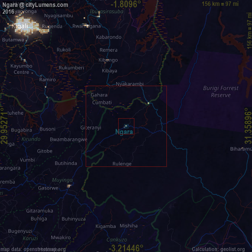
Analysis of Ngara night lights 2016
Square area 10x10 km:
 0%
0%90-99
0%80-89
0%70-79
0%60-69
0%50-59
0%40-49
0.43%30-39
0.43%20-29
0.65%10-19
0.22%0-9
98.27%Square area 50x50 km:
0%90-99
0%80-89
0.03%70-79
0%60-69
0%50-59
0%40-49
0.02%30-39
0.02%20-29
0.03%10-19
0.01%0-9
99.9%Clear (daylight) street map image can be seen on geolist.org.
Map coordinates:
1° 48' 34.6" South, 29° 57' 9.8" East
2° 30' 44" South, 30° 39' 21" East
3° 12' 52.1" South, 31° 21' 32.3" East
Some cities around Ngara sort by population:
• Muyinga, BI
50.9 km =31.6 mi,  223°
223°
• Rwamagana, RW
67.3 km =41.8 mi,  338°
338°
• Kibungo, RW
41.2 km =25.6 mi, 342°
• Biharamulo
73.8 km =45.9 mi,  100°
100°
• Bugarama
42.3 km =26.3 mi,  199°
199°
• Rulenge
23 km =14.3 mi,  186°
186°
• Kabanga
25.2 km =15.7 mi,  236°
236°
• Kirundo, BI
62.7 km =39 mi,  262°
262°
151711 (p: 16,890)
Sources (retrieved 2019-11-25):
» Earth at Night: Flat Maps 2012, 2016