Demirci night lights from space
Night Light of Demirci (Manisa) from space (Turkey) Src. Average luminocity for 10x10km area is 8.9562% and for 50x50km: 1.6144%.
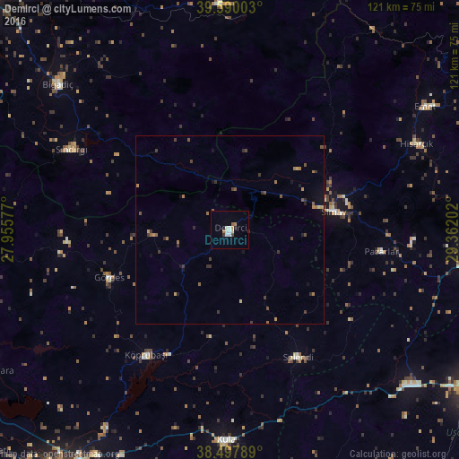
Analysis of Demirci night lights 2016
Square area 10x10 km:
 1.95%
1.95%90-99
1.3%80-89
1.3%70-79
0.49%60-69
1.46%50-59
0.97%40-49
0.49%30-39
0.81%20-29
0.97%10-19
0%0-9
90.26%Square area 50x50 km:
0.08%90-99
0.07%80-89
0.11%70-79
0.2%60-69
0.4%50-59
0.32%40-49
0.28%30-39
0.56%20-29
0.31%10-19
0.54%0-9
97.13%Clear (daylight) street map image can be seen on geolist.org.
Map coordinates:
39° 35' 24.1" North, 27° 57' 20.8" East
39° 2' 45.9" North, 28° 39' 32" East
38° 29' 52.4" North, 29° 21' 43.3" East
Some cities around Demirci sort by population:
• Simav
27.9 km =17.3 mi,  80°
80°
• Kula
55.5 km =34.5 mi,  180°
180°
• Bigadiç
59.6 km =37 mi,  310°
310°
• Gördes
34.3 km =21.3 mi,  248°
248°
• Sındırgı
46.8 km =29.1 mi,  297°
297°
• Selendi
38.1 km =23.7 mi,  151°
151°
• Pazarlar
40.7 km =25.3 mi,  98°
98°
• Şaphane
48.7 km =30.3 mi,  92°
92°
317241 (p: 21,378)
Sources (retrieved 2019-11-25):
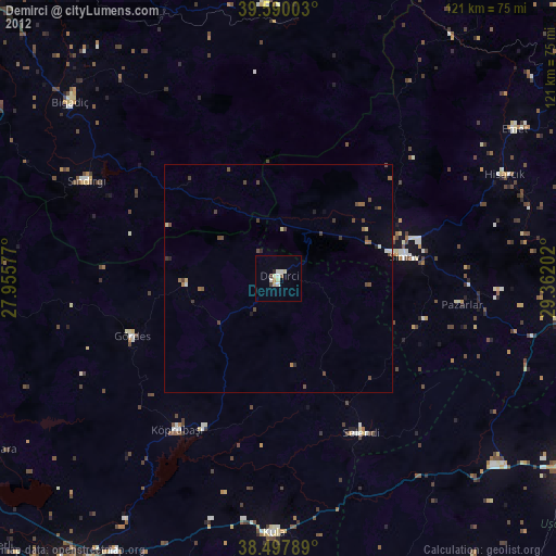
» Earth at Night: Flat Maps 2012, 2016