İznik night lights from space
Night Light of İznik (Bursa) from space (Turkey) Src. Average luminocity for 10x10km area is 13.6684% and for 50x50km: 3.9192%.
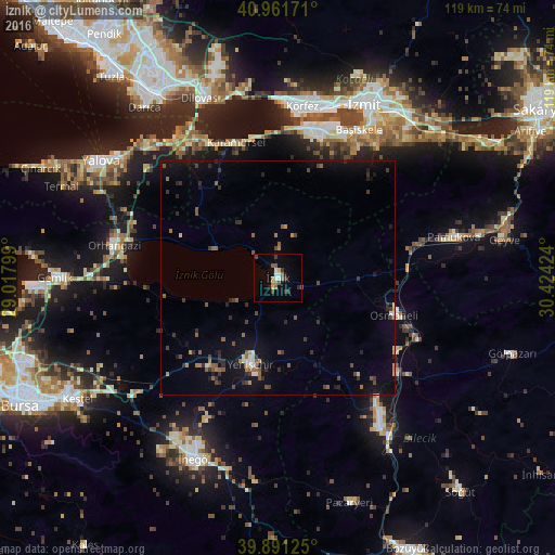
Analysis of İznik night lights 2016
Square area 10x10 km:
 1.7%
1.7%90-99
1.7%80-89
0.85%70-79
0.85%60-69
2.89%50-59
2.89%40-49
0.68%30-39
4.42%20-29
0.68%10-19
1.7%0-9
81.63%Square area 50x50 km:
0.2%90-99
0.3%80-89
0.13%70-79
0.31%60-69
0.58%50-59
0.97%40-49
0.57%30-39
1.05%20-29
1%10-19
2.65%0-9
92.24%Clear (daylight) street map image can be seen on geolist.org.
Map coordinates:
40° 57' 42.2" North, 29° 1' 4.8" East
40° 25' 43" North, 29° 43' 16" East
39° 53' 28.5" North, 30° 25' 27.3" East
Some cities around İznik sort by population:
• Gölcük
33.1 km =20.6 mi,  22°
22°
• Orhangazi
35.5 km =22.1 mi,  280°
280°
• Karamürsel
30.5 km =19 mi,  343°
343°
• Yenişehir
19.1 km =11.9 mi,  197°
197°
• Osmaneli
26.1 km =16.2 mi,  107°
107°
• İhsaniye
30.7 km =19.1 mi, 18°
• Bahçecik
31.3 km =19.4 mi,  31°
31°
• Yuvacık
35.6 km =22.1 mi,  35°
35°
745026 (p: 22,230)
Sources (retrieved 2019-11-25):
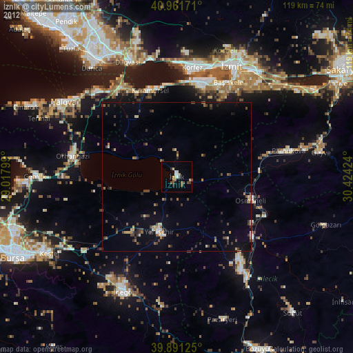
» Earth at Night: Flat Maps 2012, 2016