Yenişehir night lights from space
Night Light of Yenişehir (Bursa) from space (Turkey) Src. Average luminocity for 10x10km area is 22.224% and for 50x50km: 7.1605%.
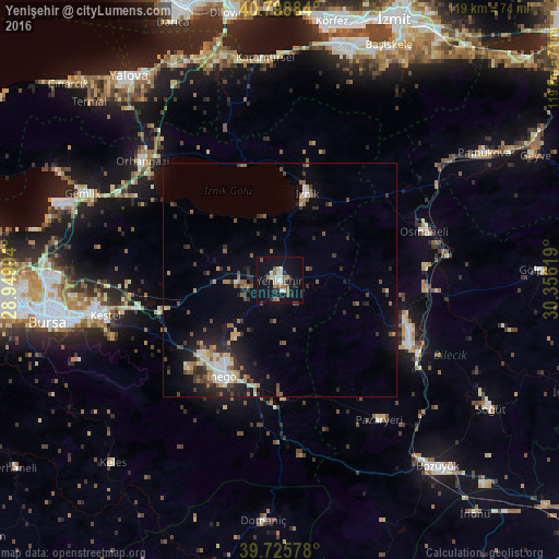
Analysis of Yenişehir night lights 2016
Square area 10x10 km:
 2.27%
2.27%90-99
5.19%80-89
0.32%70-79
2.44%60-69
3.25%50-59
4.22%40-49
1.95%30-39
2.6%20-29
2.11%10-19
26.14%0-9
49.51%Square area 50x50 km:
0.56%90-99
1.13%80-89
0.53%70-79
0.62%60-69
1.02%50-59
1.38%40-49
1.19%30-39
1.34%20-29
2.19%10-19
4.6%0-9
85.43%Clear (daylight) street map image can be seen on geolist.org.
Map coordinates:
40° 47' 55.8" North, 28° 56' 59.8" East
40° 15' 52" North, 29° 39' 11" East
39° 43' 32.8" North, 30° 21' 22.3" East
Some cities around Yenişehir sort by population:
• İnegol
23.9 km =14.9 mi,  209°
209°
• Orhangazi
38.4 km =23.9 mi,  310°
310°
• Bilecik
30.9 km =19.2 mi,  116°
116°
• Kestel
38.1 km =23.7 mi,  258°
258°
• Gürsu
39.2 km =24.4 mi, 262°
• İznik
19.1 km =11.9 mi,  17°
17°
• Osmaneli
32.3 km =20.1 mi,  71°
71°
• Pazaryeri
36.9 km =22.9 mi,  144°
144°
737611 (p: 28,656)
Sources (retrieved 2019-11-25):
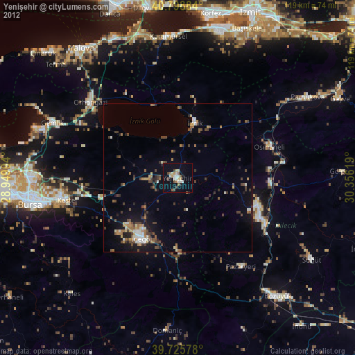
» Earth at Night: Flat Maps 2012, 2016