güngören merter night lights from space
Night Light of güngören merter (Istanbul) from space (Turkey) Src. Average luminocity for 10x10km area is 92.682% and for 50x50km: 45.4793%.
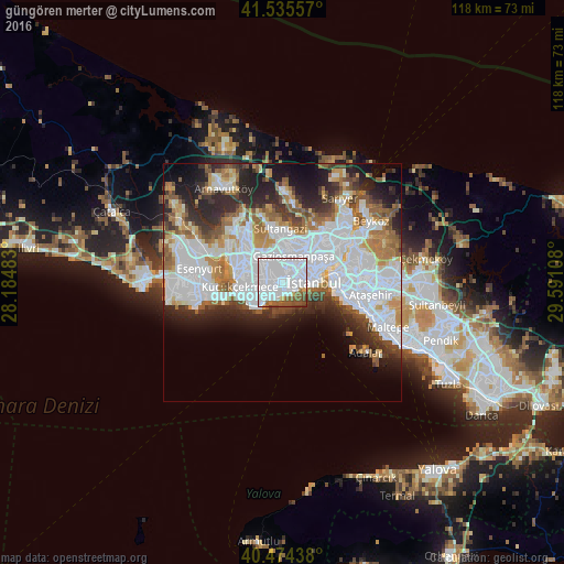
Analysis of güngören merter night lights 2016
Square area 10x10 km:
 72.45%
90-99
9.86%80-89
2.21%70-79
0.68%60-69
3.91%50-59
8.5%40-49
2.38%30-39
0%20-29
0%10-19
0%0-9
0%Square area 50x50 km:
18.33%90-99
9.61%80-89
2.71%70-79
3.89%60-69
5.14%50-59
4.86%40-49
3.47%30-39
4.43%20-29
8.01%10-19
8.58%0-9
30.96%Clear (daylight) street map image can be seen on geolist.org.
Map coordinates:
41° 32' 8.1" North, 28° 11' 5.4" East
41° 0' 25.6" North, 28° 53' 16.6" East
40° 28' 27.8" North, 29° 35' 27.9" East
Some cities around güngören merter sort by population:
• Istanbul
5.2 km =3.2 mi,  81°
81°
• Bağcılar
4.4 km =2.7 mi,  323°
323°
• Bahçelievler
2.4 km =1.5 mi,  257°
257°
• Esenler
4.2 km =2.6 mi,  346°
346°
• Şişli
10.2 km =6.3 mi,  54°
54°
• Zeytinburnu
2 km =1.2 mi,  136°
136°
• Eminönü
7.3 km =4.5 mi, 80°
• Merter Keresteciler
0.7 km =0.4 mi, 345°
6354985 (p: 50,000)
Sources (retrieved 2019-11-25):
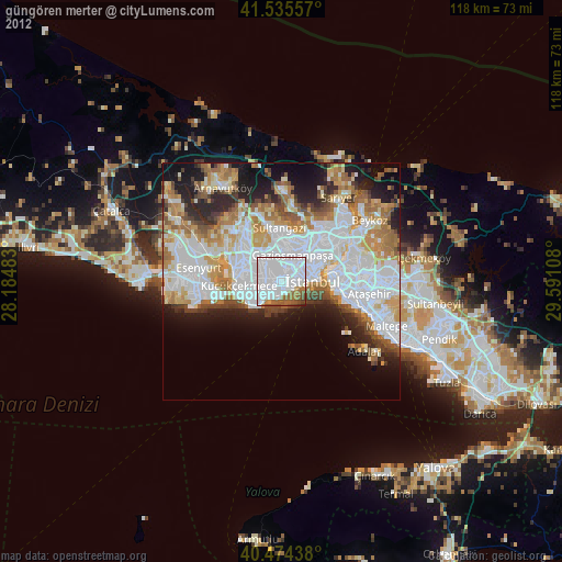
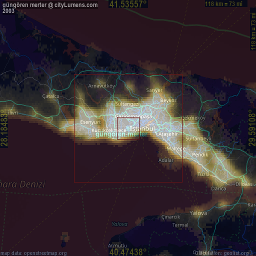
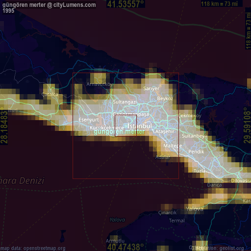
» NASA, Earths city lights 1995
» NASA city lights 2003
» Earth at Night: Flat Maps 2012, 2016