Esenler night lights from space
Night Light of Esenler (Istanbul) from space (Turkey) Src. Average luminocity for 10x10km area is 98.5374% and for 50x50km: 46.4492%.
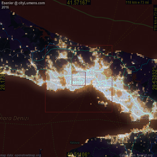
Analysis of Esenler night lights 2016
Square area 10x10 km:
 86.73%
90-99
7.82%80-89
0.68%70-79
4.76%60-69
0%50-59
0%40-49
0%30-39
0%20-29
0%10-19
0%0-9
0%Square area 50x50 km:
18.2%90-99
9.54%80-89
2.78%70-79
3.98%60-69
5.42%50-59
5.3%40-49
3.65%30-39
4.73%20-29
8.7%10-19
9.82%0-9
27.9%Clear (daylight) street map image can be seen on geolist.org.
Map coordinates:
41° 34' 18" North, 28° 10' 23.1" East
41° 2' 36.6" North, 28° 52' 34.3" East
40° 30' 39.8" North, 29° 34' 45.6" East
Some cities around Esenler sort by population:
• Istanbul
7 km =4.3 mi,  118°
118°
• Bağcılar
1.7 km =1.1 mi,  253°
253°
• Bahçelievler
4.8 km =3 mi,  196°
196°
• Sultangazi
7 km =4.3 mi,  354°
354°
• Zeytinburnu
5.9 km =3.7 mi,  156°
156°
• Başakşehir
8.3 km =5.2 mi,  311°
311°
• güngören merter
4.2 km =2.6 mi,  166°
166°
• Merter Keresteciler
3.5 km =2.2 mi, 166°
747340 (p: 520,235)
Sources (retrieved 2019-11-25):
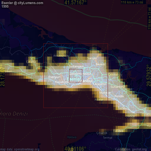
» NASA, Earths city lights 1995
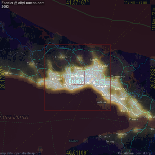
» NASA city lights 2003
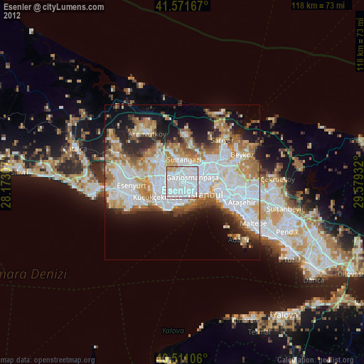
» Earth at Night: Flat Maps 2012, 2016