Başkale night lights from space
Night Light of Başkale (Van) from space (Turkey) Src. Average luminocity for 10x10km area is 8.0162% and for 50x50km: 0.5499%.
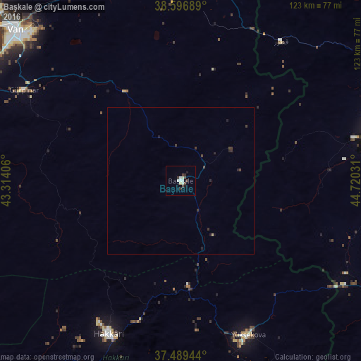
Analysis of Başkale night lights 2016
Square area 10x10 km:
 0.16%
0.16%90-99
3.57%80-89
0.81%70-79
0%60-69
0%50-59
0%40-49
2.11%30-39
3.08%20-29
0.65%10-19
1.14%0-9
88.47%Square area 50x50 km:
0.01%90-99
0.15%80-89
0.06%70-79
0%60-69
0%50-59
0%40-49
0.2%30-39
0.3%20-29
0.23%10-19
0.08%0-9
98.97%Clear (daylight) street map image can be seen on geolist.org.
Map coordinates:
38° 35' 48.8" North, 43° 18' 50.6" East
38° 2' 42.9" North, 44° 1' 1.8" East
37° 29' 22" North, 44° 43' 13.1" East
Some cities around Başkale sort by population:
• Van
74.6 km =46.4 mi,  312°
312°
• Salmās, IR
67.6 km =42 mi,  75°
75°
• Hakkâri
57.7 km =35.9 mi,  204°
204°
• Yüksekova
57.6 km =35.8 mi,  155°
155°
• Gevaş
84.6 km =52.6 mi,  288°
288°
• Özalp
67.8 km =42.1 mi,  357°
357°
• Beytüşşebap
92 km =57.2 mi,  234°
234°
• Edremit
78.3 km =48.7 mi,  302°
302°
321940 (p: 14,516)
Sources (retrieved 2019-11-25):
» Earth at Night: Flat Maps 2012, 2016