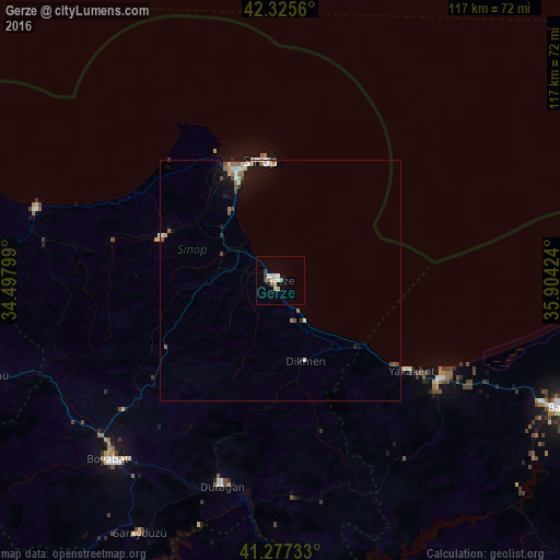
Gerze night lights from space
Night Light of Gerze (Sinop) from space (Turkey) Src. Average luminocity for 10x10km area is 10.1266% and for 50x50km: 1.7996%.
Analysis of Gerze night lights 2016
Square area 10x10 km:
 1.79%
1.79%90-99
2.11%80-89
1.46%70-79
0.49%60-69
1.95%50-59
0.49%40-49
0.32%30-39
1.79%20-29
0%10-19
0.16%0-9
89.45%Square area 50x50 km:
0.23%90-99
0.33%80-89
0.21%70-79
0.13%60-69
0.38%50-59
0.2%40-49
0.22%30-39
0.23%20-29
0.12%10-19
1.02%0-9
96.94%Clear (daylight) street map image can be seen on geolist.org.
Map coordinates:
42° 19' 32.2" North, 34° 29' 52.8" East
41° 48' 13" North, 35° 12' 4" East
41° 16' 38.4" North, 35° 54' 15.3" East
Some cities around Gerze sort by population:
• Bafra
64.2 km =39.9 mi,  114°
114°
• Sinop
25 km =15.5 mi,  352°
352°
• Boyabat
51.9 km =32.2 mi,  224°
224°
• Vezirköprü
76.4 km =47.5 mi,  163°
163°
• Ayancık
53.3 km =33.1 mi,  287°
287°
• Durağan
44.8 km =27.8 mi,  195°
195°
• Türkeli
73.2 km =45.5 mi,  282°
282°
• Yakakent
33.2 km =20.6 mi,  124°
124°
746913 (p: 11,260)
Sources (retrieved 2019-11-25):
» Earth at Night: Flat Maps 2012, 2016