Yakakent night lights from space
Night Light of Yakakent (Samsun) from space (Turkey) Src. Average luminocity for 10x10km area is 7.2321% and for 50x50km: 1.2393%.
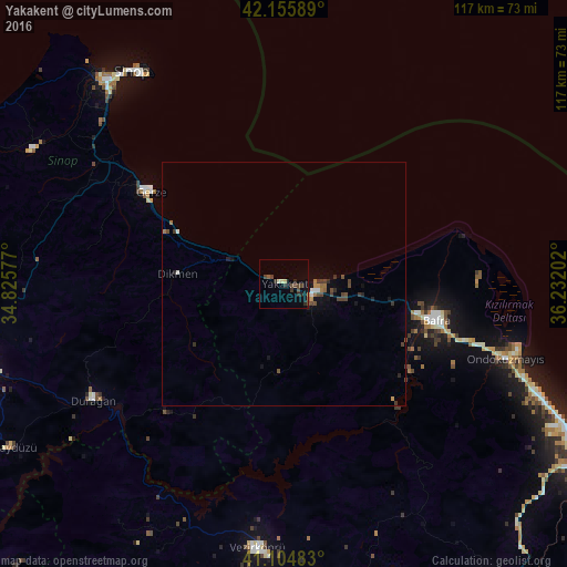
Analysis of Yakakent night lights 2016
Square area 10x10 km:
100  0%
0%
90-99 1.14%
80-89 0.81%
70-79 0%
60-69 0%
50-59 0.65%
40-49 3.57%
30-39 1.79%
20-29 3.73%
10-19 0.49%
0-9 87.82%
0%90-99
1.14%80-89
0.81%70-79
0%60-69
0%50-59
0.65%40-49
3.57%30-39
1.79%20-29
3.73%10-19
0.49%0-9
87.82%Square area 50x50 km:
100 0.08%
90-99 0.12%
80-89 0.04%
70-79 0.12%
60-69 0.19%
50-59 0.1%
40-49 0.54%
30-39 0.3%
20-29 0.37%
10-19 0.39%
0-9 97.76%
0.08%90-99
0.12%80-89
0.04%70-79
0.12%60-69
0.19%50-59
0.1%40-49
0.54%30-39
0.3%20-29
0.37%10-19
0.39%0-9
97.76%Clear (daylight) street map image can be seen on geolist.org.
Map coordinates:
42° 9' 21.2" North, 34° 49' 32.8" East
41° 37' 57" North, 35° 31' 44" East
41° 6' 17.4" North, 36° 13' 55.3" East
Some cities around Yakakent sort by population:
• Bafra
32.2 km =20 mi,  102°
102°
• Sinop
53.3 km =33.1 mi,  325°
325°
• Boyabat
66 km =41 mi,  253°
253°
• Vezirköprü
54.7 km =34 mi,  186°
186°
• Havza
74.4 km =46.2 mi,  171°
171°
• Durağan
46.3 km =28.8 mi,  238°
238°
• Gerze
33.2 km =20.6 mi,  304°
304°
• Kavak
75.1 km =46.7 mi,  145°
145°
738085 (p: 5,086)
Sources (retrieved 2019-11-25):
» Earth at Night: Flat Maps 2012, 2016