Durağan night lights from space
Night Light of Durağan (Sinop) from space (Turkey) Src. Average luminocity for 10x10km area is 6.0357% and for 50x50km: 1.3488%.
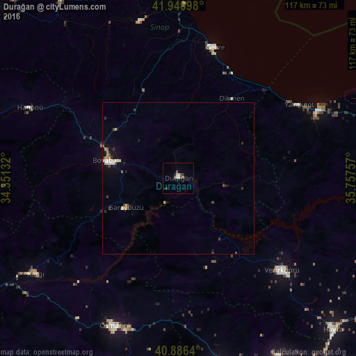
Analysis of Durağan night lights 2016
Square area 10x10 km:
 0.85%
0.85%90-99
1.36%80-89
0.51%70-79
0%60-69
0%50-59
1.36%40-49
1.87%30-39
0.85%20-29
1.53%10-19
1.19%0-9
90.48%Square area 50x50 km:
0.17%90-99
0.17%80-89
0.14%70-79
0.16%60-69
0.16%50-59
0.17%40-49
0.21%30-39
0.31%20-29
0.3%10-19
0.7%0-9
97.52%Clear (daylight) street map image can be seen on geolist.org.
Map coordinates:
41° 56' 27.5" North, 34° 21' 4.8" East
41° 24' 57" North, 35° 3' 16" East
40° 53' 11" North, 35° 45' 27.3" East
Some cities around Durağan sort by population:
• Merzifon
69.3 km =43.1 mi,  150°
150°
• Osmancık
53 km =32.9 mi,  203°
203°
• Sinop
68.5 km =42.6 mi,  7°
7°
• Boyabat
24.7 km =15.3 mi,  283°
283°
• Vezirköprü
45.1 km =28 mi,  132°
132°
• Gümüşhacıköy
61.8 km =38.4 mi,  167°
167°
• Gerze
44.8 km =27.8 mi,  15°
15°
• Yakakent
46.3 km =28.8 mi,  58°
58°
747826 (p: 11,626)
Sources (retrieved 2019-11-25):
» Earth at Night: Flat Maps 2012, 2016