Boyabat night lights from space
Night Light of Boyabat (Sinop) from space (Turkey) Src. Average luminocity for 10x10km area is 18.801% and for 50x50km: 1.398%.
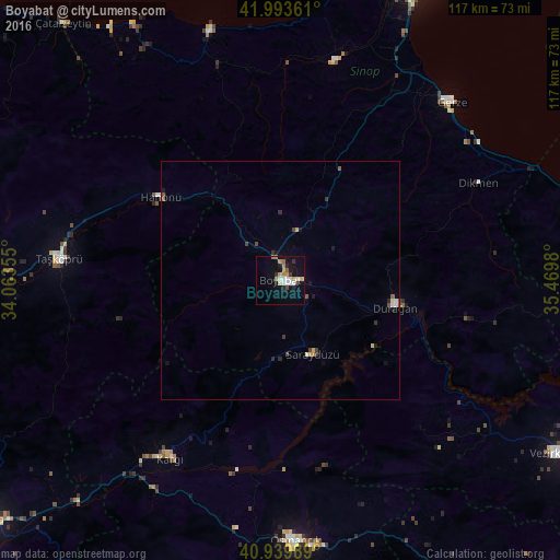
Analysis of Boyabat night lights 2016
Square area 10x10 km:
100  3.57%
3.57%
90-99 2.89%
80-89 1.19%
70-79 2.55%
60-69 3.57%
50-59 1.53%
40-49 1.36%
30-39 2.04%
20-29 2.72%
10-19 12.41%
0-9 66.16%
3.57%90-99
2.89%80-89
1.19%70-79
2.55%60-69
3.57%50-59
1.53%40-49
1.36%30-39
2.04%20-29
2.72%10-19
12.41%0-9
66.16%Square area 50x50 km:
100 0.17%
90-99 0.18%
80-89 0.14%
70-79 0.16%
60-69 0.18%
50-59 0.18%
40-49 0.23%
30-39 0.23%
20-29 0.29%
10-19 0.68%
0-9 97.57%
0.17%90-99
0.18%80-89
0.14%70-79
0.16%60-69
0.18%50-59
0.18%40-49
0.23%30-39
0.23%20-29
0.29%10-19
0.68%0-9
97.57%Clear (daylight) street map image can be seen on geolist.org.
Map coordinates:
41° 59' 37" North, 34° 3' 48.8" East
41° 28' 8" North, 34° 46' 0" East
40° 56' 23.6" North, 35° 28' 11.3" East
Some cities around Boyabat sort by population:
• Osmancık
54.7 km =34 mi,  176°
176°
• Vezirköprü
67.9 km =42.2 mi,  122°
122°
• Taşköprü
46.2 km =28.7 mi,  275°
275°
• Ayancık
55 km =34.2 mi,  344°
344°
• Durağan
24.7 km =15.3 mi,  103°
103°
• Gerze
51.9 km =32.2 mi,  44°
44°
• Türkeli
64 km =39.8 mi,  326°
326°
• Yakakent
66 km =41 mi,  73°
73°
750468 (p: 27,717)
Sources (retrieved 2019-11-25):
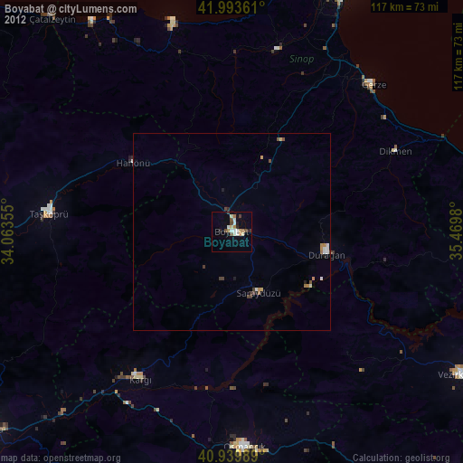
» Earth at Night: Flat Maps 2012, 2016