Elazığ night lights from space
Night Light of Elazığ from space (Turkey) Src. Average luminocity for 10x10km area is 72.8656% and for 50x50km: 9.4163%.
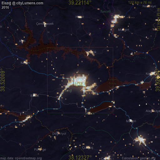
Analysis of Elazığ night lights 2016
Square area 10x10 km:
 16.84%
90-99
25.51%80-89
11.22%70-79
7.48%60-69
7.48%50-59
4.08%40-49
7.65%30-39
9.52%20-29
9.01%10-19
1.19%0-9
0%Square area 50x50 km:
0.93%90-99
1.79%80-89
1.25%70-79
1.36%60-69
0.98%50-59
1.08%40-49
1.25%30-39
1.99%20-29
2.91%10-19
5.3%0-9
81.15%Clear (daylight) street map image can be seen on geolist.org.
Map coordinates:
39° 13' 16.1" North, 38° 31' 12.3" East
38° 40' 27.5" North, 39° 13' 23.6" East
38° 7' 23.8" North, 39° 55' 34.8" East
Some cities around Elazığ sort by population:
• Tunceli
54.8 km =34.1 mi,  30°
30°
• Baskil
37.2 km =23.1 mi,  251°
251°
• Hozat
47.4 km =29.5 mi,  358°
358°
• Pertek
23 km =14.3 mi,  22°
22°
• Doğanyol
44 km =27.3 mi,  201°
201°
• Keban
44.4 km =27.6 mi,  287°
287°
• Sivrice
26.9 km =16.7 mi,  163°
163°
• Çüngüş
52.1 km =32.4 mi,  174°
174°
315808 (p: 298,004)
Sources (retrieved 2019-11-25):
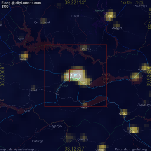
» NASA, Earths city lights 1995
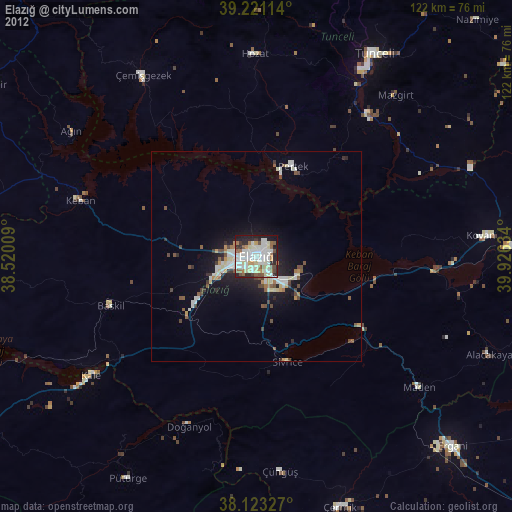
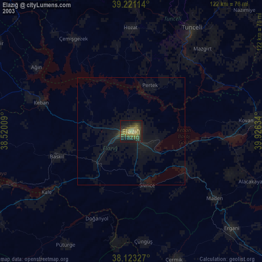
» NASA city lights 2003
» Earth at Night: Flat Maps 2012, 2016