Hozat night lights from space
Night Light of Hozat (Tunceli) from space (Turkey) Src. Average luminocity for 10x10km area is 5.4383% and for 50x50km: 0.8284%.
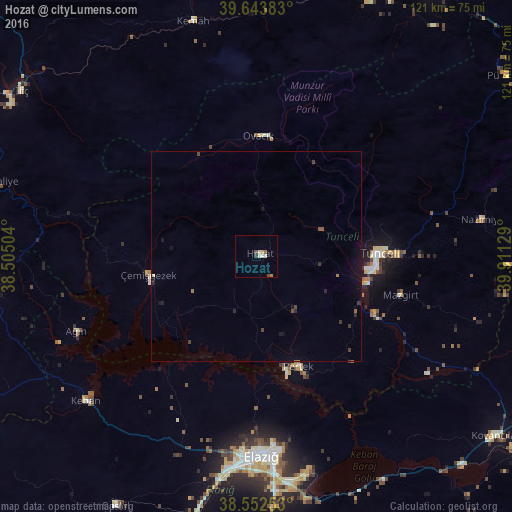
Analysis of Hozat night lights 2016
Square area 10x10 km:
 0.49%
0.49%90-99
2.11%80-89
0%70-79
0.65%60-69
0.97%50-59
0.65%40-49
0.97%30-39
0.49%20-29
0.16%10-19
0%0-9
93.51%Square area 50x50 km:
0.02%90-99
0.11%80-89
0.04%70-79
0.04%60-69
0.13%50-59
0.15%40-49
0.19%30-39
0.18%20-29
0.19%10-19
0.5%0-9
98.46%Clear (daylight) street map image can be seen on geolist.org.
Map coordinates:
39° 38' 37.8" North, 38° 30' 18.1" East
39° 6' 1" North, 39° 12' 29.4" East
38° 33' 9.1" North, 39° 54' 40.6" East
Some cities around Hozat sort by population:
• Elazığ
47.4 km =29.5 mi,  178°
178°
• Karakoçan
72.6 km =45.1 mi,  103°
103°
• Tunceli
28.9 km =18 mi,  90°
90°
• Kovancılar
70.8 km =44 mi,  126°
126°
• Baskil
68.2 km =42.4 mi,  209°
209°
• Arapgir
61.9 km =38.5 mi,  263°
263°
• Pertek
27.9 km =17.3 mi,  159°
159°
• Keban
53.2 km =33.1 mi,  230°
230°
311869 (p: 8,105)
Sources (retrieved 2019-11-25):
» Earth at Night: Flat Maps 2012, 2016