Bozova night lights from space
Night Light of Bozova (Şanlıurfa) from space (Turkey) Src. Average luminocity for 10x10km area is 10.4821% and for 50x50km: 7.3601%.
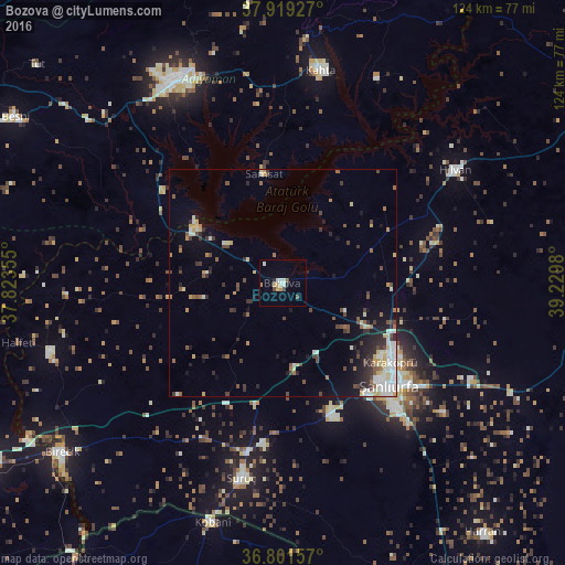
Analysis of Bozova night lights 2016
Square area 10x10 km:
 1.3%
1.3%90-99
2.6%80-89
1.46%70-79
1.62%60-69
0.16%50-59
0.65%40-49
1.62%30-39
0.32%20-29
1.3%10-19
0%0-9
88.96%Square area 50x50 km:
0.98%90-99
1.5%80-89
0.91%70-79
0.67%60-69
0.53%50-59
0.93%40-49
1.37%30-39
1.05%20-29
1.64%10-19
2.49%0-9
87.94%Clear (daylight) street map image can be seen on geolist.org.
Map coordinates:
37° 55' 9.4" North, 37° 49' 24.8" East
37° 21' 45" North, 38° 31' 36" East
36° 48' 5.7" North, 39° 13' 47.3" East
Some cities around Bozova sort by population:
• Şanlıurfa
32.1 km =19.9 mi,  132°
132°
• Adıyaman
49.8 km =30.9 mi,  333°
333°
• Kâhta
47.8 km =29.7 mi,  10°
10°
• ‘Ayn al ‘Arab, SY
54.6 km =33.9 mi,  196°
196°
• Suruç
43.9 km =27.3 mi,  191°
191°
• Birecik
61.3 km =38.1 mi,  232°
232°
• Hilvan
45.3 km =28.1 mi,  56°
56°
• Samsat
24.8 km =15.4 mi,  349°
349°
320581 (p: 21,502)
Sources (retrieved 2019-11-25):
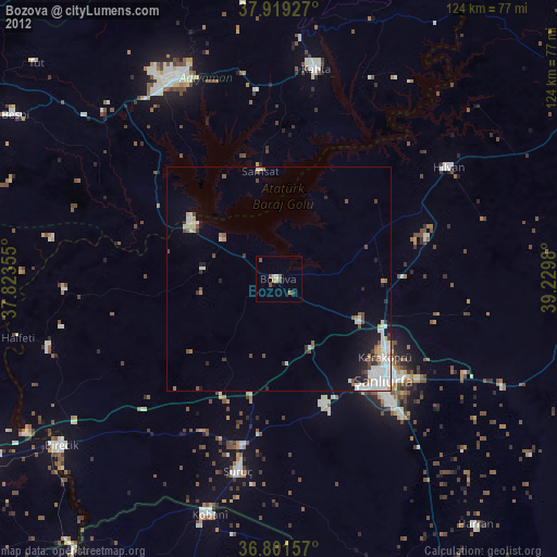
» Earth at Night: Flat Maps 2012, 2016