Adıyaman night lights from space
Night Light of Adıyaman from space (Turkey) Src. Average luminocity for 10x10km area is 59.2058% and for 50x50km: 5.7636%.
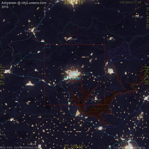
Analysis of Adıyaman night lights 2016
Square area 10x10 km:
 13.95%
90-99
18.03%80-89
10.54%70-79
6.29%60-69
3.23%50-59
3.74%40-49
2.55%30-39
5.95%20-29
18.88%10-19
15.82%0-9
1.02%Square area 50x50 km:
0.65%90-99
1.08%80-89
0.82%70-79
0.59%60-69
0.43%50-59
0.69%40-49
0.78%30-39
0.96%20-29
1.71%10-19
3.7%0-9
88.57%Clear (daylight) street map image can be seen on geolist.org.
Map coordinates:
38° 19' 5.4" North, 37° 34' 23.4" East
37° 45' 51.9" North, 38° 16' 34.6" East
37° 12' 23.3" North, 38° 58' 45.9" East
Some cities around Adıyaman sort by population:
• Kâhta
30.6 km =19 mi,  85°
85°
• Besni
37.4 km =23.2 mi,  257°
257°
• Bozova
49.8 km =30.9 mi,  153°
153°
• Doğanşehir
50.4 km =31.3 mi,  315°
315°
• Çelikhan
29.2 km =18.1 mi,  353°
353°
• Samsat
26.7 km =16.6 mi,  139°
139°
• Tut
31.8 km =19.8 mi,  276°
276°
• Sincik
42.3 km =26.3 mi,  44°
44°
325330 (p: 223,744)
Sources (retrieved 2019-11-25):
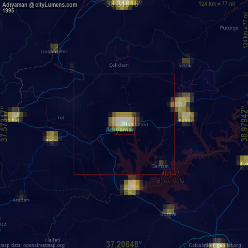
» NASA, Earths city lights 1995
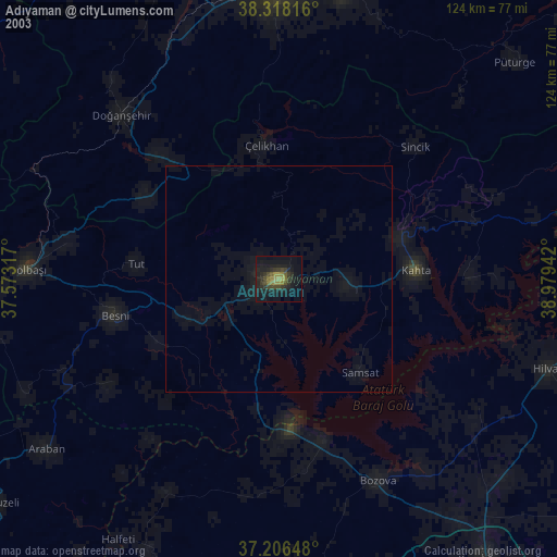
» NASA city lights 2003
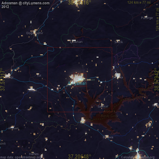
» Earth at Night: Flat Maps 2012, 2016