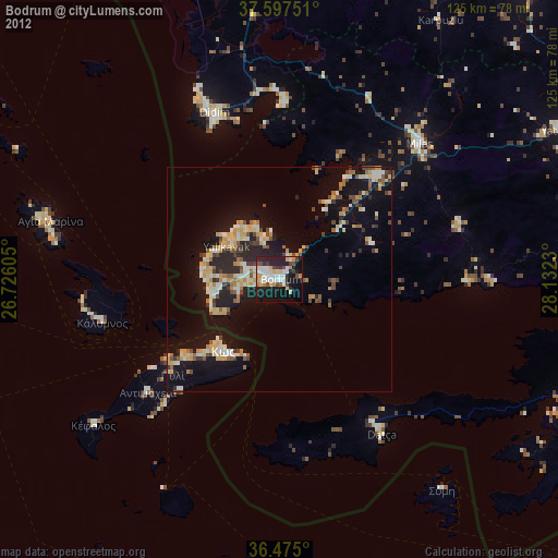
Bodrum night lights from space
Night Light of Bodrum (Muğla) from space (Turkey) Src. Average luminocity for 10x10km area is 47.3554% and for 50x50km: 14.2369%.
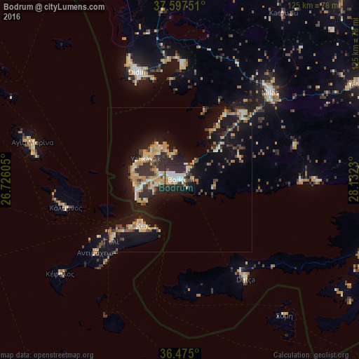
Analysis of Bodrum night lights 2016
Square area 10x10 km:
 8.5%
8.5%90-99
13.27%80-89
10.03%70-79
2.89%60-69
0%50-59
2.21%40-49
1.7%30-39
9.86%20-29
26.36%10-19
21.43%0-9
3.74%Square area 50x50 km:
0.71%90-99
2.46%80-89
2.11%70-79
2.97%60-69
1.31%50-59
1.15%40-49
1.92%30-39
2.88%20-29
3.99%10-19
13.48%0-9
67.02%Clear (daylight) street map image can be seen on geolist.org.
Map coordinates:
37° 35' 51" North, 26° 43' 33.8" East
37° 2' 18" North, 27° 25' 45" East
36° 28' 30" North, 28° 7' 56.3" East
Some cities around Bodrum sort by population:
• Milas
44.1 km =27.4 mi,  45°
45°
• Didim
41.5 km =25.8 mi,  338°
338°
• Kos, GR
20.5 km =12.7 mi,  217°
217°
• Yatağan
71.6 km =44.5 mi,  62°
62°
• Turgutreis
14.6 km =9.1 mi,  260°
260°
• Kálymnos, GR
40.7 km =25.3 mi, 256°
• Yalıkavak
13.9 km =8.6 mi,  302°
302°
• Datça
40.4 km =25.1 mi,  145°
145°
320995 (p: 39,317)
Sources (retrieved 2019-11-25):
» Earth at Night: Flat Maps 2012, 2016