Balıkesir night lights from space
Night Light of Balıkesir from space (Turkey) Src. Average luminocity for 10x10km area is 66.1347% and for 50x50km: 9.4751%.
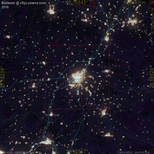
Analysis of Balıkesir night lights 2016
Square area 10x10 km:
 18.34%
90-99
18.02%80-89
7.14%70-79
4.55%60-69
12.82%50-59
6.01%40-49
7.63%30-39
4.38%20-29
16.07%10-19
5.03%0-9
0%Square area 50x50 km:
0.83%90-99
1.34%80-89
0.76%70-79
0.97%60-69
1.78%50-59
1.24%40-49
1.71%30-39
1.96%20-29
3.17%10-19
5.42%0-9
80.83%Clear (daylight) street map image can be seen on geolist.org.
Map coordinates:
40° 11' 18.3" North, 27° 10' 58.8" East
39° 38' 57" North, 27° 53' 10" East
39° 6' 20.4" North, 28° 35' 21.3" East
Some cities around Balıkesir sort by population:
• Gönen
54.4 km =33.8 mi,  338°
338°
• Susurluk
37.5 km =23.3 mi,  38°
38°
• Bigadiç
35.4 km =22 mi,  143°
143°
• Sındırgı
51.8 km =32.2 mi,  151°
151°
• Savaştepe
35.6 km =22.1 mi,  213°
213°
• İvrindi
35 km =21.7 mi,  258°
258°
• Kepsut
23.2 km =14.4 mi,  79°
79°
• Manyas
44.7 km =27.8 mi,  9°
9°
322165 (p: 238,151)
Sources (retrieved 2019-11-25):
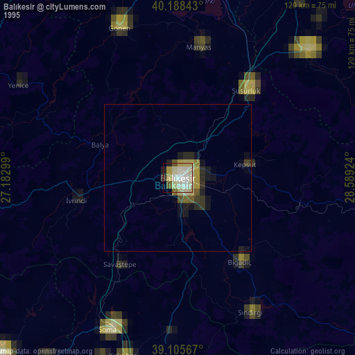
» NASA, Earths city lights 1995
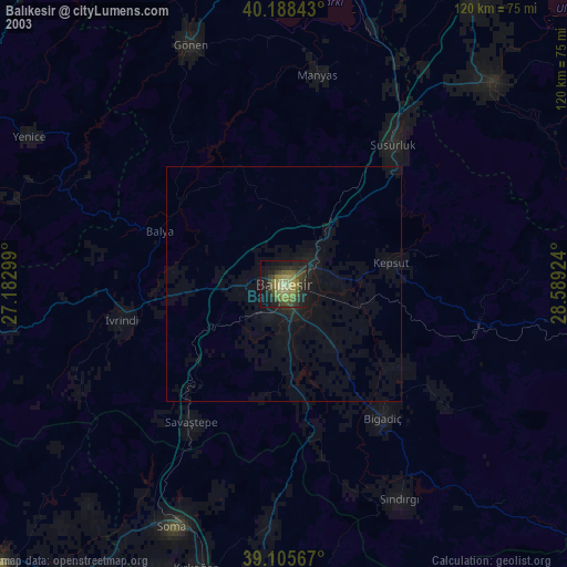
» NASA city lights 2003
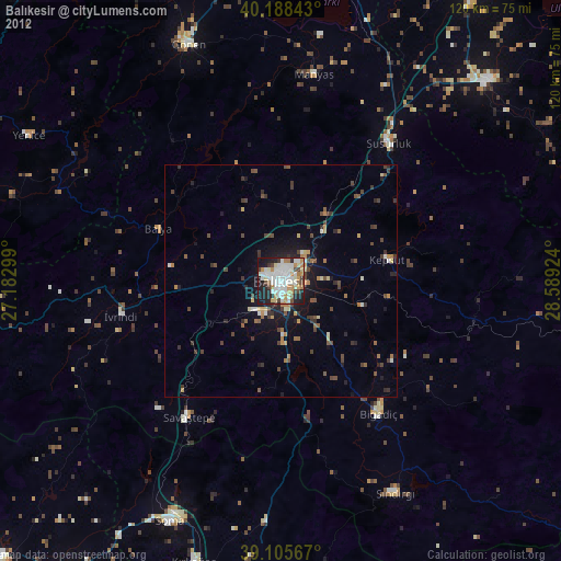
» Earth at Night: Flat Maps 2012, 2016