Susurluk night lights from space
Night Light of Susurluk (Balıkesir) from space (Turkey) Src. Average luminocity for 10x10km area is 17.2874% and for 50x50km: 6.6982%.
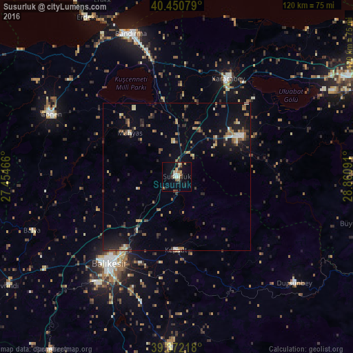
Analysis of Susurluk night lights 2016
Square area 10x10 km:
 0.68%
0.68%90-99
3.57%80-89
1.7%70-79
2.21%60-69
3.74%50-59
1.87%40-49
1.53%30-39
1.19%20-29
4.25%10-19
11.22%0-9
68.03%Square area 50x50 km:
0.23%90-99
0.77%80-89
0.64%70-79
0.73%60-69
1.25%50-59
0.89%40-49
1.17%30-39
1.1%20-29
1.99%10-19
4.5%0-9
86.73%Clear (daylight) street map image can be seen on geolist.org.
Map coordinates:
40° 27' 2.8" North, 27° 27' 16.8" East
39° 54' 49" North, 28° 9' 28" East
39° 22' 19.8" North, 28° 51' 39.3" East
Some cities around Susurluk sort by population:
• Balıkesir
37.5 km =23.3 mi,  218°
218°
• Bandırma
51.1 km =31.8 mi,  342°
342°
• Mustafakemalpaşa
25.5 km =15.8 mi,  57°
57°
• Karacabey
37.5 km =23.3 mi,  27°
27°
• Gönen
47.9 km =29.8 mi,  296°
296°
• Dursunbey
54.1 km =33.6 mi,  132°
132°
• Kepsut
25 km =15.5 mi,  181°
181°
• Manyas
21.8 km =13.5 mi,  312°
312°
300058 (p: 24,816)
Sources (retrieved 2019-11-25):
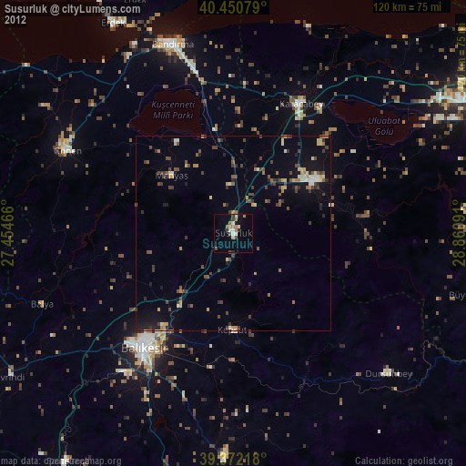
» Earth at Night: Flat Maps 2012, 2016