Lemta night lights from space
Night Light of Lemta (Al Munastīr) from space (Tunisia) Src. Average luminocity for 10x10km area is 52.1241% and for 50x50km: 16.1462%.
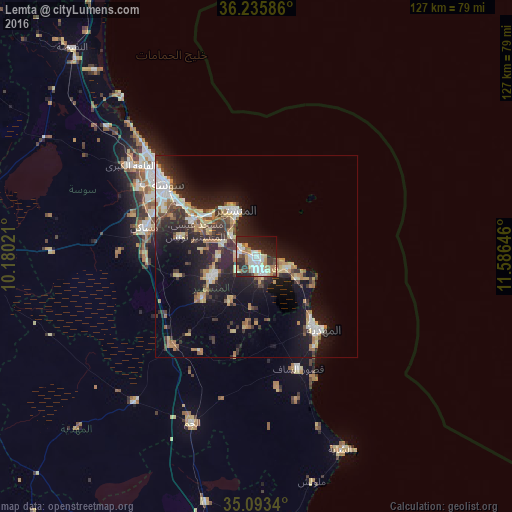
Analysis of Lemta night lights 2016
Square area 10x10 km:
 12.94%
90-99
11.19%80-89
5.24%70-79
6.64%60-69
8.22%50-59
2.62%40-49
4.02%30-39
7.52%20-29
23.25%10-19
14.16%0-9
4.2%Square area 50x50 km:
2.22%90-99
2.13%80-89
2.28%70-79
1.83%60-69
2.5%50-59
1.17%40-49
2.05%30-39
3.07%20-29
6.47%10-19
12.07%0-9
64.21%Clear (daylight) street map image can be seen on geolist.org.
Map coordinates:
36° 14' 9.1" North, 10° 10' 48.8" East
35° 40' 0" North, 10° 52' 60" East
35° 5' 36.2" North, 11° 35' 11.3" East
Some cities around Lemta sort by population:
• Djemmal
12.4 km =7.7 mi,  246°
246°
• Ksar Hellal
2.2 km =1.4 mi,  162°
162°
• Bekalta
11.5 km =7.1 mi,  118°
118°
• Seïada
0.9 km =0.6 mi,  73°
73°
• Banbalah
8.4 km =5.2 mi,  296°
296°
• Ksibet el Mediouni
4.2 km =2.6 mi, 299°
• Beni Hassane
13 km =8.1 mi,  211°
211°
• Touza
6.1 km =3.8 mi,  235°
235°
2469571 (p: 5,382)
Sources (retrieved 2019-11-25):
» Earth at Night: Flat Maps 2012, 2016