Souk Ahras night lights from space
Night Light of Souk Ahras from space (Algeria) Src. Average luminocity for 10x10km area is 40.1608% and for 50x50km: 4.8697%.
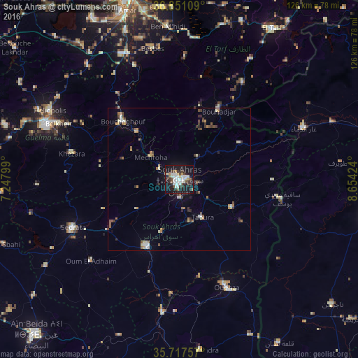
Analysis of Souk Ahras night lights 2016
Square area 10x10 km:
 10.14%
90-99
10.14%80-89
2.62%70-79
2.97%60-69
1.22%50-59
1.92%40-49
5.94%30-39
6.64%20-29
10.84%10-19
42.66%0-9
4.9%Square area 50x50 km:
0.59%90-99
0.83%80-89
0.48%70-79
0.58%60-69
0.46%50-59
0.54%40-49
0.68%30-39
1.04%20-29
0.85%10-19
2.72%0-9
91.24%Clear (daylight) street map image can be seen on geolist.org.
Map coordinates:
36° 51' 3.9" North, 7° 14' 52.8" East
36° 17' 11" North, 7° 57' 4" East
35° 43' 3.3" North, 8° 39' 15.3" East
Some cities around Souk Ahras sort by population:
• Guelma
50.9 km =31.6 mi,  292°
292°
• Besbes
47.2 km =29.3 mi,  348°
348°
• Drean
47.8 km =29.7 mi,  338°
338°
• Sedrata
41.3 km =25.7 mi,  244°
244°
• Héliopolis
51.5 km =32 mi,  297°
297°
• El Aouinet
47 km =29.2 mi,  187°
187°
• Boumahra Ahmed
43.6 km =27.1 mi, 296°
• Sakiet Sidi Youssef, TN
36.9 km =22.9 mi,  101°
101°
2479215 (p: 156,745)
Sources (retrieved 2019-11-25):
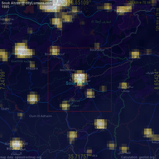
» NASA, Earths city lights 1995
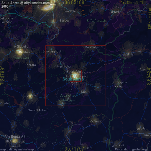
» NASA city lights 2003
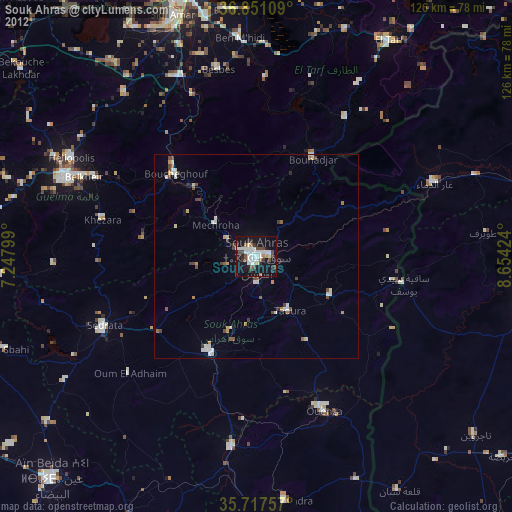
» Earth at Night: Flat Maps 2012, 2016